Login

Забыл пароль?

Cookies have to be accepted!
Your browser's cookie functionality is disabled. Please enable this functionality.

Not a member yet?

Register now
Login

Available for registred users only

Log in to use this feature.

Забыл пароль?

Cookies have to be accepted!
Your browser's cookie functionality is disabled. Please enable this functionality.

Not a member yet?

Register now
Filter
Категории
Advanced filters
  • Длина (км)
  • Высотомер
Сохранить фильтр Reset filter

TrackRank

QRCode

Technical data

Длина32,4 km Высотомер228 m Way down228 m Длительность01:58 h:m Дата30.03.2013
Оценки Author Ландшафт Веселье Кондиция Техника

Статистика

592 Виды Оценки 70 Загрузки Среднее
Rate
  • Формуляр маршрута
  • Дорога
  • Загрузки
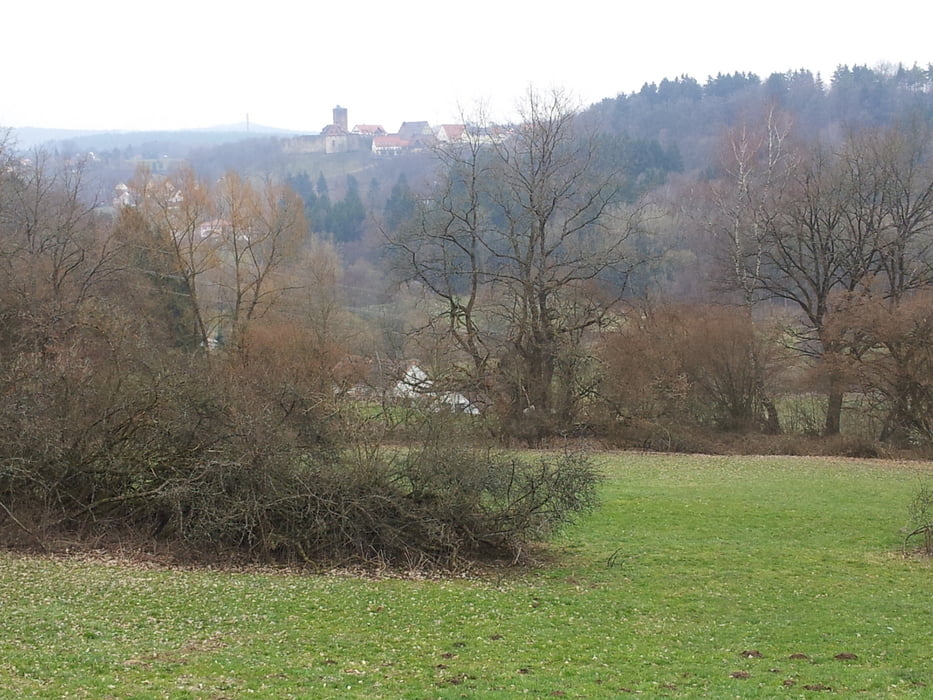
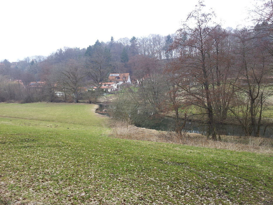
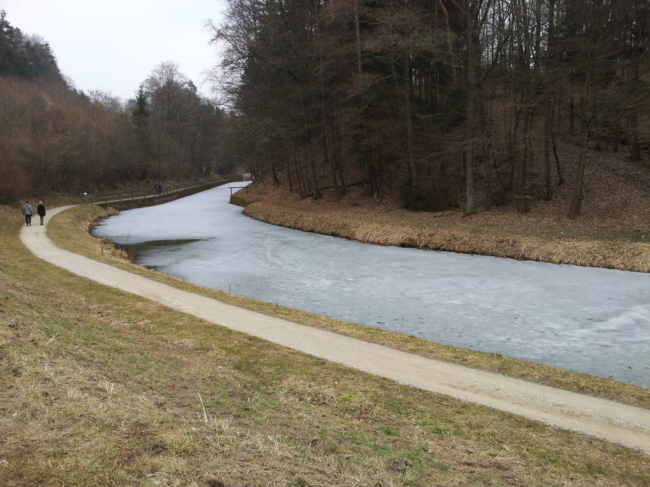
Eine landschaftlich sehr schöne, nicht zu schwere "Familientour". Kann auch mit einem Trekkingrad gefahren werden.

Галерея маршрутов

Карта маршрута и высотный профиль

  • Open Street Map
  • Google
Minimum height 352 m Maximum height 437 m Детальный вид

More about the tour author

funcrosser
Member since 2009

Send private message

Комментарии

A 73 Ausfahrt Feucht. Weiter auf B 8 bis Schwarzenbruck. An 1. Ampel in Schwarzenbruck links, nach ca 400 m Bahnhof Ochenbruck.

GPS-Tracks

Trackpoints
  • GPX / Garmin Map Source (gpx) download
  • TCX / Garmin Training Center® (tcx) download
  • CRS / Garmin Training Center® (crs) download
  • Google Earth (kml) download
  • G7ToWin (g7t) download
  • TTQV (trk) download
  • Overlay (ovl) download
  • Fugawi (txt) download
  • Kompass (DAV) Track (tk) download
  • Формуляр маршрута (pdf) download
  • Original file of the author (tcx) download

More about the tour author

funcrosser
Member since 2009

Send private message
Share track
Add to my favorites
Remove from my favorites
Edit tags
My score
Rate
Маршрут: Schwarzach-Ludwigskanal
Вид: Горный велосипед
Длина: 32,4 km
Evaluated on:
Длительность:
Day(s)
Hour(s)
Minute(s)
Оценка: Ландшафт Веселье Кондиция Техника