

Aufstieg 1Std.55min
Abfahrt 32min.
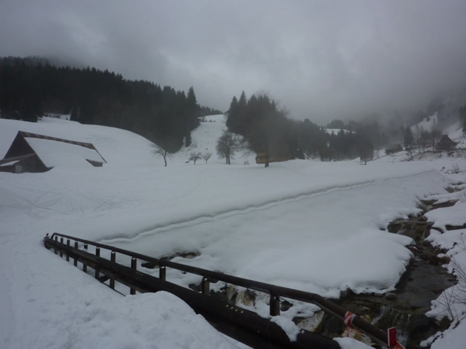
Галерея маршрутов


Карта маршрута и высотный профиль
Minimum height 1136 m
Maximum height 1972 m
More about the tour author
|
|
harald07071 |
Комментарии

Man biegt von der Staatsstraße nach Tavis bei Ugovizza rechts ab, dann geht eine Bergstraße hinauf auf über 1000 Meter bis zu einem Parkplatz. (Schneketten sind von Vorteil)
GPS-Tracks
Trackpoints-
GPX / Garmin Map Source (gpx) download
-
TCX / Garmin Training Center® (tcx) download
-
CRS / Garmin Training Center® (crs) download
-
Google Earth (kml) download
-
G7ToWin (g7t) download
-
TTQV (trk) download
-
Overlay (ovl) download
-
Fugawi (txt) download
-
Kompass (DAV) Track (tk) download
-
Формуляр маршрута (pdf) download
-
Original file of the author (gpx) download
More about the tour author
|
|
harald07071 |
Add to my favorites
Remove from my favorites
Edit tags
Open track
My score
Rate