

Runde ab Phalsbourg.
Sehr geringer Teeranteil, meist Trails, auch einige Forstwege.
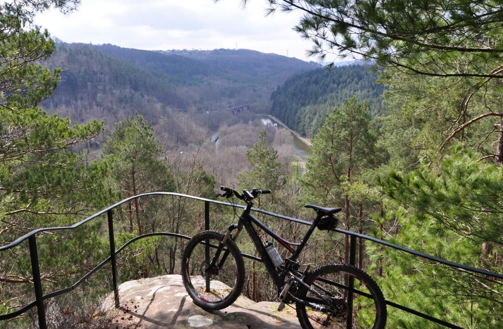
Man passiert:
- Tunnel unter den Gleisen
- Tunnel unter dem Canal
- Pfannenfels
- Kelchfels
- Grotte des France Tireurs
- Rocher de Petit Moulin
- Pilzfelsen
- Brunnental
Falls es geregnet hatte, ist das teilweise eine schlammige Angelegenheit.
Галерея маршрутов

Карта маршрута и высотный профиль
Minimum height 207 m
Maximum height 512 m
More about the tour author
|
|
RandB |
Комментарии

Saverne Richtung Phalsbourg, vor der Ortschaft gibt es links einen Friedhof mit Parkplatz (Höhenbegrenzung bei der Einfahrt!).
GPS-Tracks
Trackpoints-
GPX / Garmin Map Source (gpx) download
-
TCX / Garmin Training Center® (tcx) download
-
CRS / Garmin Training Center® (crs) download
-
Google Earth (kml) download
-
G7ToWin (g7t) download
-
TTQV (trk) download
-
Overlay (ovl) download
-
Fugawi (txt) download
-
Kompass (DAV) Track (tk) download
-
Формуляр маршрута (pdf) download
-
Original file of the author (gpx) download
More about the tour author
|
|
RandB |
Add to my favorites
Remove from my favorites
Edit tags
Open track
My score
Rate