Login

Забыл пароль?

Cookies have to be accepted!
Your browser's cookie functionality is disabled. Please enable this functionality.

Not a member yet?

Register now
Login

Available for registred users only

Log in to use this feature.

Забыл пароль?

Cookies have to be accepted!
Your browser's cookie functionality is disabled. Please enable this functionality.

Not a member yet?

Register now
Filter
Категории
Advanced filters
  • Длина (км)
  • Высотомер
Сохранить фильтр Reset filter

TrackRank

QRCode

Technical data

Длина26,6 km Высотомер339 m Way down342 m Длительность01:30 h:m Дата13.04.2013
Оценки Author Ландшафт Веселье Кондиция Техника

Статистика

439 Виды Оценки 57 Загрузки Среднее
Rate
  • Формуляр маршрута
  • Дорога
  • Загрузки
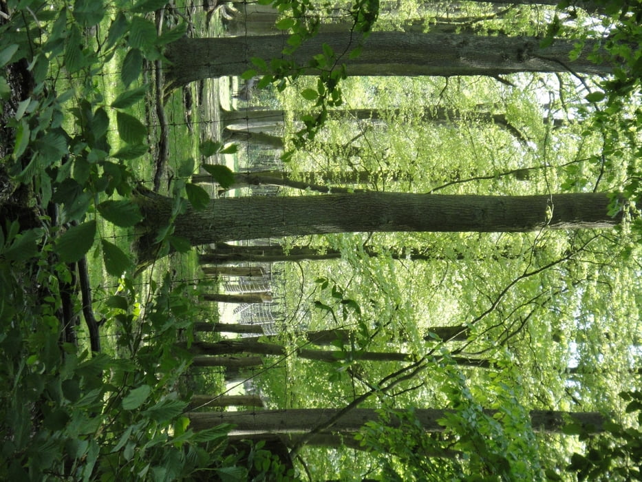
Die Tour beginn am Parkplatz Holtgarde und führt uns über  die Recklinghauserstr(L889) in die Haard .Zunächst geht es über Schotterwege am Feuerwachtturm vorbei,später uber Singeltrails zurück(Achtung 3 Bäume entwurzelt)zum Parkplatz.

Карта маршрута и высотный профиль

  • Open Street Map
  • Google
Minimum height 54 m Maximum height 139 m Детальный вид

More about the tour author

blueeyes61
Member since 2008

Send private message

Комментарии

GPS-Tracks

Trackpoints
  • GPX / Garmin Map Source (gpx) download
  • TCX / Garmin Training Center® (tcx) download
  • CRS / Garmin Training Center® (crs) download
  • Google Earth (kml) download
  • G7ToWin (g7t) download
  • TTQV (trk) download
  • Overlay (ovl) download
  • Fugawi (txt) download
  • Kompass (DAV) Track (tk) download
  • Формуляр маршрута (pdf) download
  • Original file of the author (gpx) download

More about the tour author

blueeyes61
Member since 2008

Send private message
Share track
Add to my favorites
Remove from my favorites
Edit tags
My score
Rate
Маршрут: The Green Haard
Вид: Горный велосипед
Длина: 26,6 km
Evaluated on:
Длительность:
Day(s)
Hour(s)
Minute(s)
Оценка: Ландшафт Веселье Кондиция Техника