Login

Забыл пароль?

Cookies have to be accepted!
Your browser's cookie functionality is disabled. Please enable this functionality.

Not a member yet?

Register now
Login

Available for registred users only

Log in to use this feature.

Забыл пароль?

Cookies have to be accepted!
Your browser's cookie functionality is disabled. Please enable this functionality.

Not a member yet?

Register now
Filter
Категории
Advanced filters
  • Длина (км)
  • Высотомер
Сохранить фильтр Reset filter

TrackRank

QRCode

Technical data

Длина12,4 km Высотомер376 m Way down365 m Длительность03:00 h:m Дата19.05.2013
Оценки Author Ландшафт Веселье Кондиция Техника

Статистика

806 Виды Оценки 28 Загрузки Среднее
Rate
  • Формуляр маршрута
  • Дорога
  • Загрузки
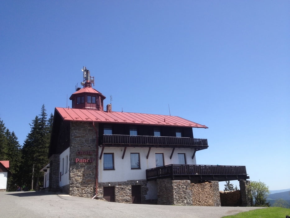
Einfache Tour mit herrlichen Ausblicken auf Böhmerwald und Gr. Arber 

Галерея маршрутов

Карта маршрута и высотный профиль

  • Open Street Map
  • Google
Minimum height 944 m Maximum height 1225 m Детальный вид

More about the tour author

preiste
Member since 2010

Send private message

Комментарии

Parkplatz an der Straße 27 linker Hand in Höhe Abzweigung Richtung Hartmanice

GPS-Tracks

Trackpoints
  • GPX / Garmin Map Source (gpx) download
  • TCX / Garmin Training Center® (tcx) download
  • CRS / Garmin Training Center® (crs) download
  • Google Earth (kml) download
  • G7ToWin (g7t) download
  • TTQV (trk) download
  • Overlay (ovl) download
  • Fugawi (txt) download
  • Kompass (DAV) Track (tk) download
  • Формуляр маршрута (pdf) download
  • Original file of the author (tcx) download

More about the tour author

preiste
Member since 2010

Send private message
Share track
Add to my favorites
Remove from my favorites
Edit tags
My score
Rate
Маршрут: Pancir
Вид: Пешеходный туризм
Длина: 12,4 km
Evaluated on:
Длительность:
Day(s)
Hour(s)
Minute(s)
Оценка: Ландшафт Веселье Кондиция Техника