


Fellbach-Alm hinterm Brunn-Techendorf-NagglerAlm-
Kohlröslalm-Naggl-Richtung Laka(Sackgasse)-Paterzipf-
Techendorf-Alm hinterm Brunn-Fellbach
Wunderbare Tour bis auf die Laka-Schiebung (ab Wegpunkt "Auf"),
bis dorthin aber gut fahrbar mit herrlichen Ausblicken auf den See!
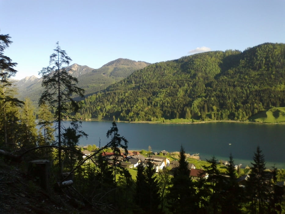
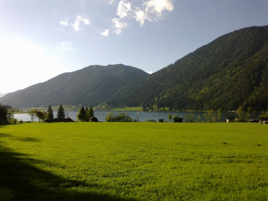
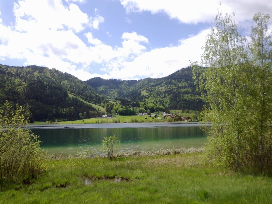
Галерея маршрутов

Карта маршрута и высотный профиль
Minimum height 576 m
Maximum height 1638 m
More about the tour author
|
|
mitter |
Комментарии

Start in Fellbach.
GPS-Tracks
Trackpoints-
GPX / Garmin Map Source (gpx) download
-
TCX / Garmin Training Center® (tcx) download
-
CRS / Garmin Training Center® (crs) download
-
Google Earth (kml) download
-
G7ToWin (g7t) download
-
TTQV (trk) download
-
Overlay (ovl) download
-
Fugawi (txt) download
-
Kompass (DAV) Track (tk) download
-
Формуляр маршрута (pdf) download
-
Original file of the author (gpx) download
More about the tour author
|
|
mitter |
Add to my favorites
Remove from my favorites
Edit tags
Open track
My score
Rate