
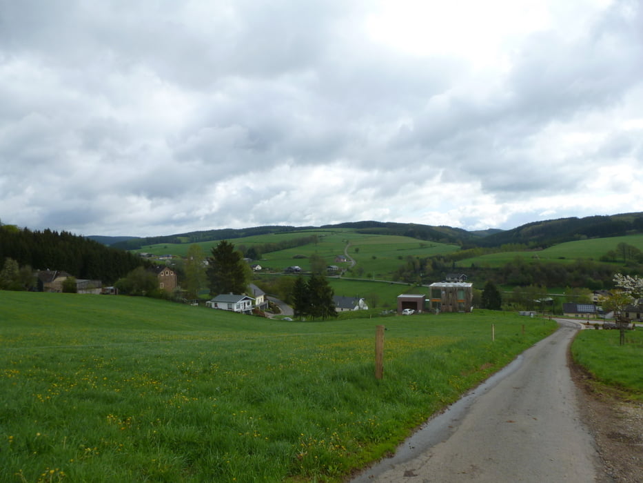

Wandeling op 12/05/2013 tijdens ons wandelweekend met de club. Deze wandeling is niet geregistreerd met de Garmin 60 CSX maar als test met de Nokia Lumia 620, en er schijnt iets niet te kloppen met het hoogteprofiel.
Галерея маршрутов

Карта маршрута и высотный профиль
Minimum height 44 m
Maximum height 499 m
More about the tour author

|
stafm |
Комментарии

GPS-Tracks
Trackpoints-
GPX / Garmin Map Source (gpx) download
-
TCX / Garmin Training Center® (tcx) download
-
CRS / Garmin Training Center® (crs) download
-
Google Earth (kml) download
-
G7ToWin (g7t) download
-
TTQV (trk) download
-
Overlay (ovl) download
-
Fugawi (txt) download
-
Kompass (DAV) Track (tk) download
-
Формуляр маршрута (pdf) download
-
Original file of the author (gpx) download
More about the tour author
|
|
stafm |
Add to my favorites
Remove from my favorites
Edit tags
Open track
My score
Rate