Login

Забыл пароль?

Cookies have to be accepted!
Your browser's cookie functionality is disabled. Please enable this functionality.

Not a member yet?

Register now
Login

Available for registred users only

Log in to use this feature.

Забыл пароль?

Cookies have to be accepted!
Your browser's cookie functionality is disabled. Please enable this functionality.

Not a member yet?

Register now
Filter
Категории
Advanced filters
  • Длина (км)
  • Высотомер
Сохранить фильтр Reset filter

TrackRank

QRCode

Technical data

Длина48,1 km Высотомер864 m Way down862 m Длительность02:30 h:m Дата10.06.2013
Оценки Author Ландшафт Веселье Кондиция Техника

Статистика

399 Виды Оценки 40 Загрузки Среднее
Rate
  • Формуляр маршрута
  • Дорога
  • Загрузки

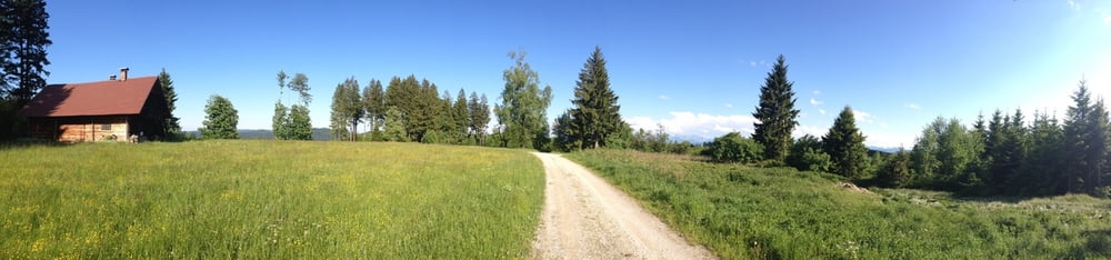
Die Tour führt vom Steiglberg über die Schranne nach Kalteis (genialer Ausblick). Weiter durch den Kobernaußerwald nach Schneegattern über Bergham und Forstern. Auf der Weißenbachstraße (offizielle und offene Route durch den KW) in Richtung Frauschereck und über die Holzwiese zurück nach Steiglberg.


Галерея маршрутов

Карта маршрута и высотный профиль

  • Open Street Map
  • Google
Minimum height 538 m Maximum height 762 m Детальный вид

More about the tour author

wakope
Member since 2013

Send private message

Комментарии

GPS-Tracks

Trackpoints
  • GPX / Garmin Map Source (gpx) download
  • TCX / Garmin Training Center® (tcx) download
  • CRS / Garmin Training Center® (crs) download
  • Google Earth (kml) download
  • G7ToWin (g7t) download
  • TTQV (trk) download
  • Overlay (ovl) download
  • Fugawi (txt) download
  • Kompass (DAV) Track (tk) download
  • Формуляр маршрута (pdf) download
  • Original file of the author (gpx) download

More about the tour author

wakope
Member since 2013

Send private message
Share track
Add to my favorites
Remove from my favorites
Edit tags
My score
Rate
Маршрут: Schneegattern
Вид: Горный велосипед
Длина: 48,1 km
Evaluated on:
Длительность:
Day(s)
Hour(s)
Minute(s)
Оценка: Ландшафт Веселье Кондиция Техника