


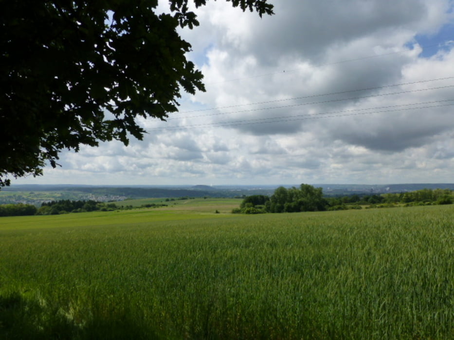
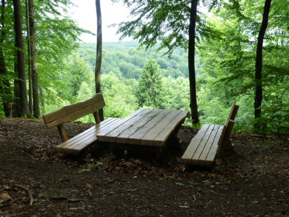
Start am Wanderparkplatz in Schmelz - Hüttersdorf. Bis auf wenige Ausnahmen gute Beschilderung. Jedoch der übliche Mängel der Premiumwege (viele unnötige Erweiterungen des Weges obwohl schon gute Wege vorhanden sind)Für grössere Gruppen nicht unbedingt zu empfehlen da 80% Pfadanteil(extrem schmale Wege , kein nebeneinander Gehen möglich).Überwiegend Wald jedoch auch einige schöne Ausssichten. Mehrere Bäche und Wasserstellen für Hunde vorhanden.
Галерея маршрутов
Карта маршрута и высотный профиль
Minimum height 253 m
Maximum height 369 m
More about the tour author
|
|
DJBUSFAHRER |
Комментарии

GPS-Tracks
Trackpoints-
GPX / Garmin Map Source (gpx) download
-
TCX / Garmin Training Center® (tcx) download
-
CRS / Garmin Training Center® (crs) download
-
Google Earth (kml) download
-
G7ToWin (g7t) download
-
TTQV (trk) download
-
Overlay (ovl) download
-
Fugawi (txt) download
-
Kompass (DAV) Track (tk) download
-
Формуляр маршрута (pdf) download
-
Original file of the author (gpx) download
More about the tour author
|
|
DJBUSFAHRER |
Add to my favorites
Remove from my favorites
Edit tags
Open track
My score
Rate