Login

Забыл пароль?

Cookies have to be accepted!
Your browser's cookie functionality is disabled. Please enable this functionality.

Not a member yet?

Register now
Login

Available for registred users only

Log in to use this feature.

Забыл пароль?

Cookies have to be accepted!
Your browser's cookie functionality is disabled. Please enable this functionality.

Not a member yet?

Register now
Filter
Категории
Advanced filters
  • Длина (км)
  • Высотомер
Сохранить фильтр Reset filter

TrackRank

QRCode

Technical data

Длина49,6 km Высотомер1193 m Way down1205 m Длительность03:30 h:m Дата16.06.2013
Оценки Author Ландшафт Веселье Кондиция Техника

Статистика

626 Виды Оценки 40 Загрузки Среднее
Rate
  • Формуляр маршрута
  • Дорога
  • Загрузки

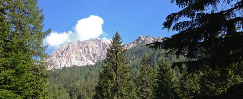
von Völkendorf ( St. Johanner Kirche ) nach Judendorf zum Warmbad, an der Therme vorbei zum Radweg Richtung Müllnern, an der Nudelfabrik vorbei zum Kanzianiberg und von hier ab stetig ansteigend nach Outschena, wo der Weg abzweigt Richtung Jepzasattel und schließlich zur ehemaligen Annahütte


Галерея маршрутов

Карта маршрута и высотный профиль

  • Open Street Map
  • Google
Minimum height 514 m Maximum height 1584 m Детальный вид

More about the tour author

kateem
Member since 2010

Send private message

Комментарии

GPS-Tracks

Trackpoints
  • GPX / Garmin Map Source (gpx) download
  • TCX / Garmin Training Center® (tcx) download
  • CRS / Garmin Training Center® (crs) download
  • Google Earth (kml) download
  • G7ToWin (g7t) download
  • TTQV (trk) download
  • Overlay (ovl) download
  • Fugawi (txt) download
  • Kompass (DAV) Track (tk) download
  • Формуляр маршрута (pdf) download
  • Original file of the author (tcx) download

More about the tour author

kateem
Member since 2010

Send private message
Share track
Add to my favorites
Remove from my favorites
Edit tags
My score
Rate
Маршрут: ehemalige Annahütte
Вид: Горный велосипед
Длина: 49,6 km
Evaluated on:
Длительность:
Day(s)
Hour(s)
Minute(s)
Оценка: Ландшафт Веселье Кондиция Техника