Login

Забыл пароль?

Cookies have to be accepted!
Your browser's cookie functionality is disabled. Please enable this functionality.

Not a member yet?

Register now
Login

Available for registred users only

Log in to use this feature.

Забыл пароль?

Cookies have to be accepted!
Your browser's cookie functionality is disabled. Please enable this functionality.

Not a member yet?

Register now
Filter
Категории
Advanced filters
  • Длина (км)
  • Высотомер
Сохранить фильтр Reset filter

TrackRank

QRCode

Technical data

Длина5,1 km Высотомер677 m Way down672 m Длительность00:00 h:m Дата18.06.2013
Оценки Author Ландшафт Веселье Кондиция Техника

Статистика

572 Виды Оценки 67 Загрузки Среднее
Rate
  • Формуляр маршрута
  • Дорога
  • Загрузки

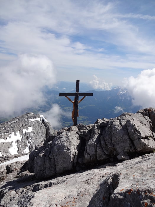
Vom Watzmannhaus zum Hocheck und zurück

Siehe auch Teilwanderungen:

1) /de/touren/detail.119150.html
2) /de/touren/detail.119152.html

und Gesamttour:
/de/touren/detail.119153.html


Галерея маршрутов

Карта маршрута и высотный профиль

  • Open Street Map
  • Google
Minimum height 1917 m Maximum height 2651 m Детальный вид

More about the tour author

anfrey
Member since 2009

Send private message

Комментарии

GPS-Tracks

Trackpoints
  • GPX / Garmin Map Source (gpx) download
  • TCX / Garmin Training Center® (tcx) download
  • CRS / Garmin Training Center® (crs) download
  • Google Earth (kml) download
  • G7ToWin (g7t) download
  • TTQV (trk) download
  • Overlay (ovl) download
  • Fugawi (txt) download
  • Kompass (DAV) Track (tk) download
  • Формуляр маршрута (pdf) download
  • Original file of the author (gpx) download

More about the tour author

anfrey
Member since 2009

Send private message
Share track
Add to my favorites
Remove from my favorites
Edit tags
My score
Rate
Маршрут: Watzmannhaus - Hocheck - Watzmannhaus
Вид: Горный маршрут
Длина: 5,1 km
Evaluated on:
Длительность:
Day(s)
Hour(s)
Minute(s)
Оценка: Ландшафт Веселье Кондиция Техника