Login

Забыл пароль?

Cookies have to be accepted!
Your browser's cookie functionality is disabled. Please enable this functionality.

Not a member yet?

Register now
Login

Available for registred users only

Log in to use this feature.

Забыл пароль?

Cookies have to be accepted!
Your browser's cookie functionality is disabled. Please enable this functionality.

Not a member yet?

Register now
Filter
Категории
Advanced filters
  • Длина (км)
  • Высотомер
Сохранить фильтр Reset filter

TrackRank

QRCode

Technical data

Длина24,0 km Высотомер1200 m Way down1193 m Длительность03:00 h:m Дата29.06.2013
Оценки Author Ландшафт Веселье Кондиция Техника

Статистика

750 Виды Оценки 66 Загрузки Среднее
Rate
  • Формуляр маршрута
  • Дорога
  • Загрузки

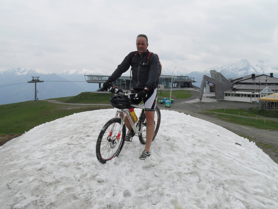
Start ist in Piesendorf,dann einfach den MTB Schilder folgen bis zur Schmittenhöhe.Auf der Abfahrt zur Pinzgauer Hütte hab ich noch einen kleinen Trail eingebaut.


Галерея маршрутов

Карта маршрута и высотный профиль

  • Open Street Map
  • Google
Minimum height 793 m Maximum height 1967 m Детальный вид

More about the tour author

torti40
Member since 2009

Send private message

Комментарии

GPS-Tracks

Trackpoints
  • GPX / Garmin Map Source (gpx) download
  • TCX / Garmin Training Center® (tcx) download
  • CRS / Garmin Training Center® (crs) download
  • Google Earth (kml) download
  • G7ToWin (g7t) download
  • TTQV (trk) download
  • Overlay (ovl) download
  • Fugawi (txt) download
  • Kompass (DAV) Track (tk) download
  • Формуляр маршрута (pdf) download
  • Original file of the author (gpx) download

More about the tour author

torti40
Member since 2009

Send private message
Share track
Add to my favorites
Remove from my favorites
Edit tags
My score
Rate
Маршрут: zur Schmittenhöhe/Pinzgauer Hütte
Вид: Горный велосипед
Длина: 24,0 km
Evaluated on:
Длительность:
Day(s)
Hour(s)
Minute(s)
Оценка: Ландшафт Веселье Кондиция Техника