Login

Забыл пароль?

Cookies have to be accepted!
Your browser's cookie functionality is disabled. Please enable this functionality.

Not a member yet?

Register now
Login

Available for registred users only

Log in to use this feature.

Забыл пароль?

Cookies have to be accepted!
Your browser's cookie functionality is disabled. Please enable this functionality.

Not a member yet?

Register now
Filter
Категории
Advanced filters
  • Длина (км)
  • Высотомер
Сохранить фильтр Reset filter

TrackRank

QRCode

Technical data

Длина27,9 km Высотомер1196 m Way down1166 m Длительность02:20 h:m Дата05.11.2007
Оценки Author Ландшафт Веселье Кондиция Техника

Статистика

376 Виды Оценки 63 Загрузки Среднее
Rate
  • Формуляр маршрута
  • Дорога
  • Загрузки
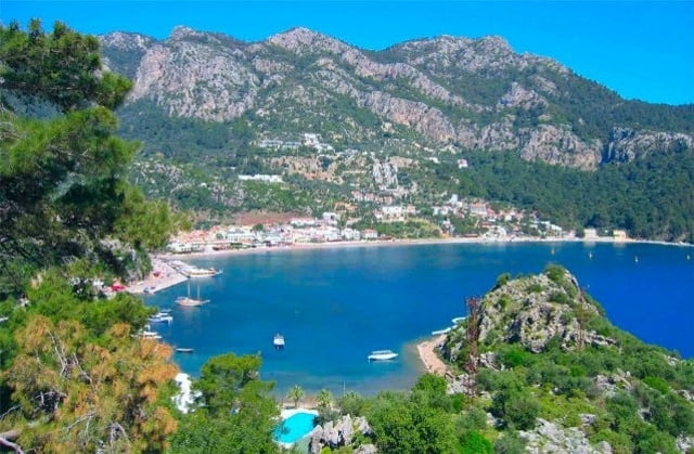
Nette Tour durch Pinienwälder, mit Abstecher zu einer einsamen Bucht. Einen Besuch der Ruinen von Amos nicht vergessen!

Карта маршрута и высотный профиль

  • Open Street Map
  • Google
Minimum height 5 m Maximum height 608 m Детальный вид

More about the tour author

komamati-san
Member since 2004

Send private message

Комментарии

GPS-Tracks

Trackpoints
  • GPX / Garmin Map Source (gpx) download
  • TCX / Garmin Training Center® (tcx) download
  • CRS / Garmin Training Center® (crs) download
  • Google Earth (kml) download
  • G7ToWin (g7t) download
  • TTQV (trk) download
  • Overlay (ovl) download
  • Fugawi (txt) download
  • Kompass (DAV) Track (tk) download
  • Формуляр маршрута (pdf) download
  • Original file of the author (gpx) download

More about the tour author

komamati-san
Member since 2004

Send private message
Share track
Add to my favorites
Remove from my favorites
Edit tags
My score
Rate
Маршрут: Kumlübük
Вид: Горный велосипед
Длина: 27,9 km
Evaluated on:
Длительность:
Day(s)
Hour(s)
Minute(s)
Оценка: Ландшафт Веселье Кондиция Техника