Login

Забыл пароль?

Cookies have to be accepted!
Your browser's cookie functionality is disabled. Please enable this functionality.

Not a member yet?

Register now
Login

Available for registred users only

Log in to use this feature.

Забыл пароль?

Cookies have to be accepted!
Your browser's cookie functionality is disabled. Please enable this functionality.

Not a member yet?

Register now
Filter
Категории
Advanced filters
  • Длина (км)
  • Высотомер
Сохранить фильтр Reset filter

TrackRank

QRCode

Technical data

Длина84,5 km Высотомер2036 m Way down2244 m Длительность07:22 h:m Дата25.07.2013
Оценки Author Ландшафт Веселье Кондиция Техника

Статистика

261 Виды Оценки 28 Загрузки Среднее
Rate
  • Формуляр маршрута
  • Дорога
  • Загрузки
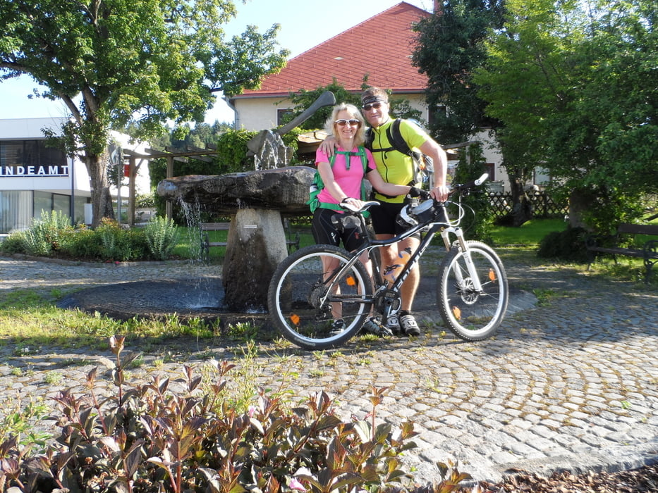
MTB Granitland Tag 4: Von St.Stefan am Wald nach St.Martin im Mühlkreis.Es sind tolle vier Etappen,mit nicht all zu langen Anstiegen und meistens ein tolles Panorama.

Галерея маршрутов

Карта маршрута и высотный профиль

  • Open Street Map
  • Google
Minimum height 414 m Maximum height 921 m Детальный вид

More about the tour author

plazo100
Member since 2009

Send private message

Комментарии

GPS-Tracks

Trackpoints
  • GPX / Garmin Map Source (gpx) download
  • TCX / Garmin Training Center® (tcx) download
  • CRS / Garmin Training Center® (crs) download
  • Google Earth (kml) download
  • G7ToWin (g7t) download
  • TTQV (trk) download
  • Overlay (ovl) download
  • Fugawi (txt) download
  • Kompass (DAV) Track (tk) download
  • Формуляр маршрута (pdf) download
  • Original file of the author (gpx) download

More about the tour author

plazo100
Member since 2009

Send private message
Share track
Add to my favorites
Remove from my favorites
Edit tags
My score
Rate
Маршрут: MTB Granitland Tag 4
Вид: Горный велосипед
Длина: 84,5 km
Evaluated on:
Длительность:
Day(s)
Hour(s)
Minute(s)
Оценка: Ландшафт Веселье Кондиция Техника