


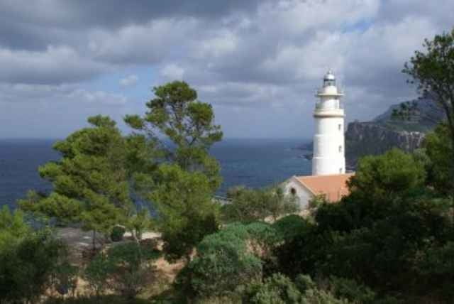
ausgeschilderter Wanderweg von Soller nach Port Soller mit Abstecher über das Wanderheim La Muleta am Cap Gros. Anfangs und ab dem Cap leider auf Asphalt.
Sehr schöne abwechslungsreiche Vegetation und nette Ausbilcke.
Einkehrmöglichkeit im Wanderheim
Sehr schöne abwechslungsreiche Vegetation und nette Ausbilcke.
Einkehrmöglichkeit im Wanderheim
Further information at
http://www.conselldemallorca.net/mediambient/pedra/senderisme.php?opcio=30Галерея маршрутов
Карта маршрута и высотный профиль
Minimum height -24 m
Maximum height 195 m
More about the tour author

|
Комментарии

GPS-Tracks
Trackpoints-
GPX / Garmin Map Source (gpx) download
-
TCX / Garmin Training Center® (tcx) download
-
CRS / Garmin Training Center® (crs) download
-
Google Earth (kml) download
-
G7ToWin (g7t) download
-
TTQV (trk) download
-
Overlay (ovl) download
-
Fugawi (txt) download
-
Kompass (DAV) Track (tk) download
-
Формуляр маршрута (pdf) download
-
Original file of the author (g7t) download
More about the tour author
|
|
Add to my favorites
Remove from my favorites
Edit tags
Open track
My score
Rate