Login

Забыл пароль?

Cookies have to be accepted!
Your browser's cookie functionality is disabled. Please enable this functionality.

Not a member yet?

Register now
Login

Available for registred users only

Log in to use this feature.

Забыл пароль?

Cookies have to be accepted!
Your browser's cookie functionality is disabled. Please enable this functionality.

Not a member yet?

Register now
Filter
Категории
Advanced filters
  • Длина (км)
  • Высотомер
Сохранить фильтр Reset filter

TrackRank

QRCode

Technical data

Длина121,6 km Высотомер3023 m Way down2646 m Длительность07:13 h:m Дата08.08.2013
Оценки Author Ландшафт Веселье Кондиция Техника

Статистика

269 Виды Оценки 39 Загрузки Среднее
Rate
  • Формуляр маршрута
  • Дорога
  • Загрузки

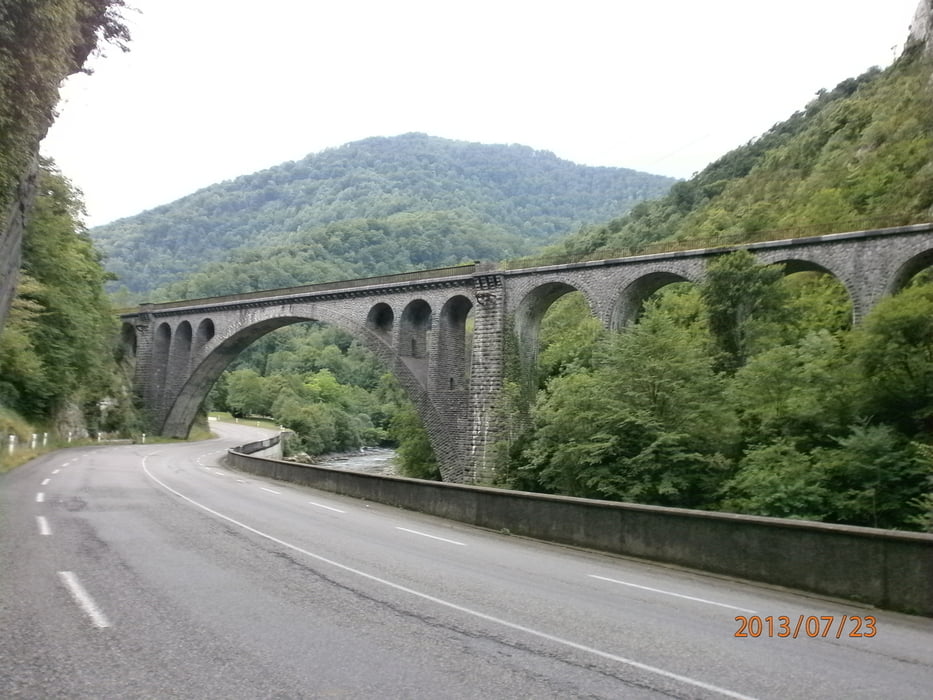
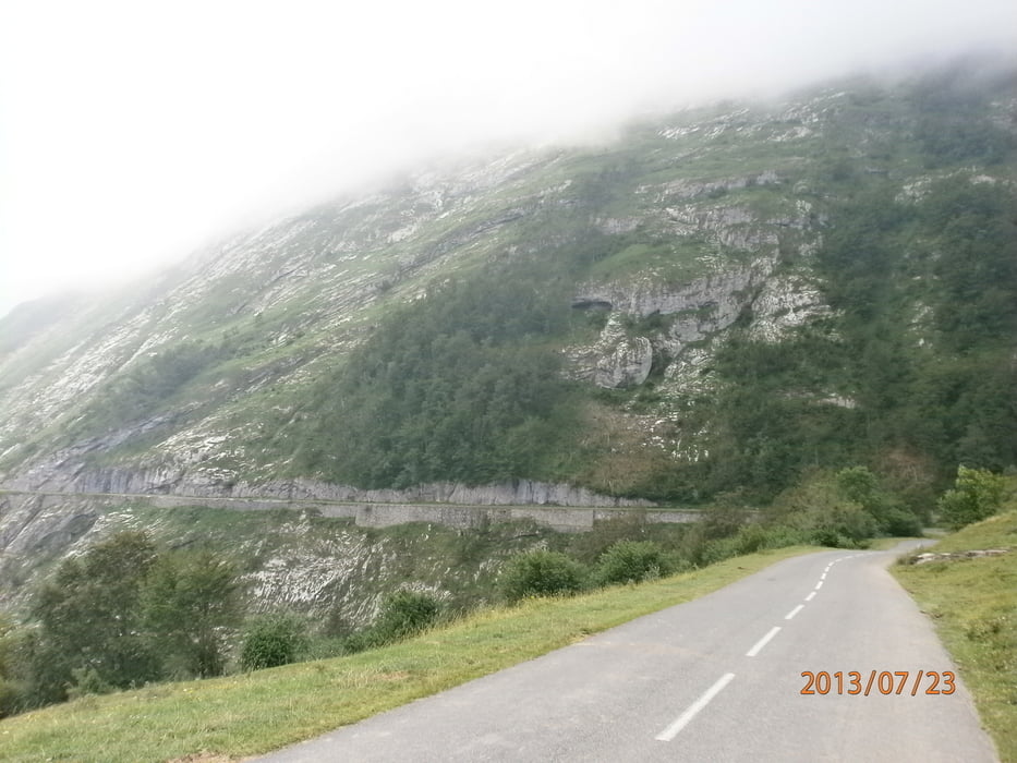
von Arette nach Luz-Saint-Sauveur mit folgenden Passen Col de Marie Blonque,Col de Aubisque

Col de Soular.Landschaftlich sehr schöne Strecke.

Галерея маршрутов

Карта маршрута и высотный профиль

  • Open Street Map
  • Google
Minimum height 345 m Maximum height 1726 m Детальный вид

More about the tour author

Red-Marin
Member since 2009

Send private message

Комментарии

Karte Michelin Nr:342 Baskenland -Pyrenäen


GPS-Tracks

Trackpoints
  • GPX / Garmin Map Source (gpx) download
  • TCX / Garmin Training Center® (tcx) download
  • CRS / Garmin Training Center® (crs) download
  • Google Earth (kml) download
  • G7ToWin (g7t) download
  • TTQV (trk) download
  • Overlay (ovl) download
  • Fugawi (txt) download
  • Kompass (DAV) Track (tk) download
  • Формуляр маршрута (pdf) download
  • Original file of the author (tcx) download

More about the tour author

Red-Marin
Member since 2009

Send private message
Share track
Add to my favorites
Remove from my favorites
Edit tags
My score
Rate
Маршрут: Pyrenäen Tour 2013 3.Tag
Вид: Гоночный велосипед
Длина: 121,6 km
Evaluated on:
Длительность:
Day(s)
Hour(s)
Minute(s)
Оценка: Ландшафт Веселье Кондиция Техника