
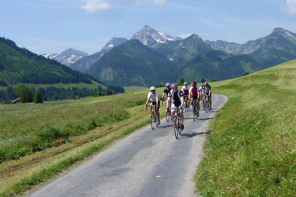

Von Wangen aus starten wir am Milchpilz, wo auch genügend Parkplätze vorhanden sind. Die Tour geht über die Hauptstraße nach Eglofstal, wo am Morgen noch kaum Verkehr ist. Danach sind es hauptsächlich verkehrsarme Nebenstraßen in der herrlichen Allgäuer und Tiroler Landschaft. Bei Km 10 etwa kommt ein ca. 200m nicht asphaltiertes Straßenstück, das aber mit dem RR problemlos befahrbar ist. Weitere Ziele sind Oberstaufen- Immenstadt- Rettenberg- Wertach in das Tannheimer Tal. Zurück über Pfronten- Nesselwang und Zaumberg als letzte größere Hürde der Runde.
Карта маршрута и высотный профиль
Minimum height 535 m
Maximum height 1130 m
More about the tour author
|
|
stromerle |
Комментарии

GPS-Tracks
Trackpoints-
GPX / Garmin Map Source (gpx) download
-
TCX / Garmin Training Center® (tcx) download
-
CRS / Garmin Training Center® (crs) download
-
Google Earth (kml) download
-
G7ToWin (g7t) download
-
TTQV (trk) download
-
Overlay (ovl) download
-
Fugawi (txt) download
-
Kompass (DAV) Track (tk) download
-
Формуляр маршрута (pdf) download
-
Original file of the author (gpx) download
More about the tour author
|
|
stromerle |
Add to my favorites
Remove from my favorites
Edit tags
Open track
My score
Rate