


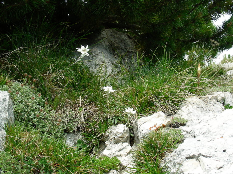
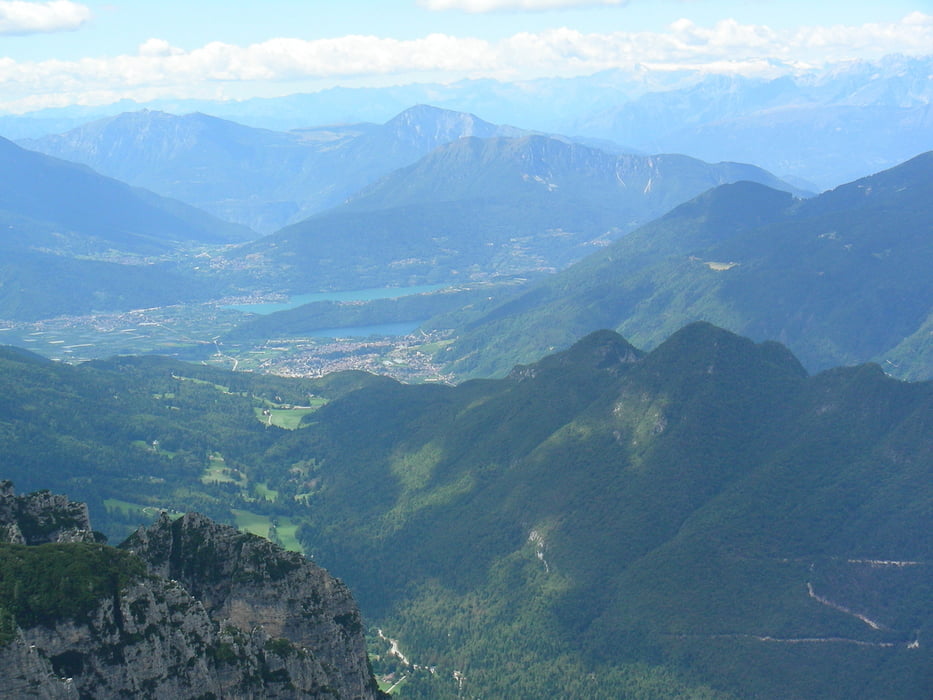
Splendido itinerario nell'Ecomuseo della Grande Guerra, da non tralasciare una piccola deviazione verso tra la cima 11 e il monte Castelnovo per ammirare i laghi di Levico e Caldonazzo in Valsugana Trentino, si consiglia di portare una pila in modo da non perdere le visite nelle numerose grotte.
Nelle giornate calde meglio portare una buona scorta d'acqua.
E' possibile salire dalla Valsugana presso localita Olle, il percorso è più impegnativo.
Further information at
http://www.ecomuseograndeguerra.it/veneto/prealpi_vicentine/it/wai/p1_a.htmГалерея маршрутов


Карта маршрута и высотный профиль
Minimum height 1646 m
Maximum height 2171 m
More about the tour author
|
|
Da0001 |
Комментарии

Parcheggio al piazzale Lozze (Gallio) strada con lungo tratto sterrato ma fattibile con qualsiasi auto.
Seguire le indigazioni Ortigara
GPS-Tracks
Trackpoints-
GPX / Garmin Map Source (gpx) download
-
TCX / Garmin Training Center® (tcx) download
-
CRS / Garmin Training Center® (crs) download
-
Google Earth (kml) download
-
G7ToWin (g7t) download
-
TTQV (trk) download
-
Overlay (ovl) download
-
Fugawi (txt) download
-
Kompass (DAV) Track (tk) download
-
Формуляр маршрута (pdf) download
-
Original file of the author (gpx) download
More about the tour author
|
|
Da0001 |
Add to my favorites
Remove from my favorites
Edit tags
Open track
My score
Rate