Login

Забыл пароль?

Cookies have to be accepted!
Your browser's cookie functionality is disabled. Please enable this functionality.

Not a member yet?

Register now
Login

Available for registred users only

Log in to use this feature.

Забыл пароль?

Cookies have to be accepted!
Your browser's cookie functionality is disabled. Please enable this functionality.

Not a member yet?

Register now
Filter
Категории
Advanced filters
  • Длина (км)
  • Высотомер
Сохранить фильтр Reset filter

TrackRank

QRCode

Technical data

Длина8,3 km Высотомер265 m Way down265 m Длительность00:00 h:m Дата08.09.2013
Оценки Author Ландшафт Веселье Кондиция Техника

Статистика

399 Виды Оценки 15 Загрузки Среднее
Rate
  • Формуляр маршрута
  • Дорога
  • Загрузки
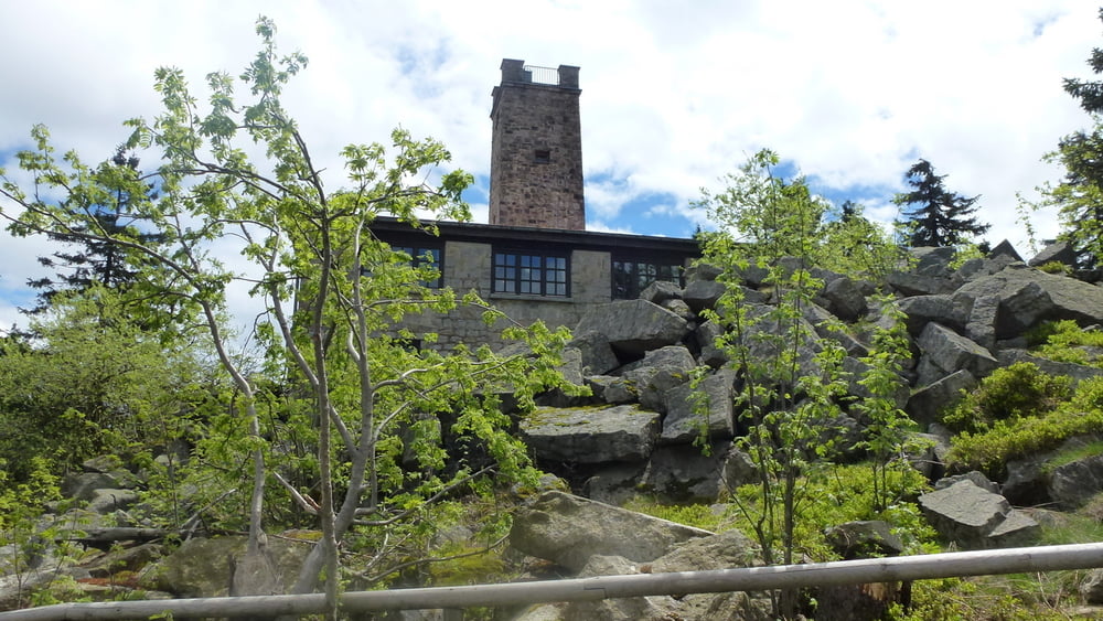
Hierbei handelt es sich um die Ochsenkopf Süd Nordic Walking Runde im Nordic Parc Fichtelgebirge. Schöne anspruchsvolle schwarze Runde bis auf den Ochsenkopf.

Галерея маршрутов

Карта маршрута и высотный профиль

  • Open Street Map
  • Google
Minimum height 744 m Maximum height 990 m Детальный вид

More about the tour author

raihei
Member since 2013

Send private message

Комментарии

Startpunkt ist vom Parkplatz Neubau. Anschließend kann man in der Bleaml Alm sich sehr gut erfrischen und super essen.
 

GPS-Tracks

Trackpoints
  • GPX / Garmin Map Source (gpx) download
  • TCX / Garmin Training Center® (tcx) download
  • CRS / Garmin Training Center® (crs) download
  • Google Earth (kml) download
  • G7ToWin (g7t) download
  • TTQV (trk) download
  • Overlay (ovl) download
  • Fugawi (txt) download
  • Kompass (DAV) Track (tk) download
  • Формуляр маршрута (pdf) download
  • Original file of the author (gpx) download

More about the tour author

raihei
Member since 2013

Send private message
Share track
Add to my favorites
Remove from my favorites
Edit tags
My score
Rate
Маршрут: Ochsenkopf Südrunde
Вид: Nordic Walking
Длина: 8,3 km
Evaluated on:
Длительность:
Day(s)
Hour(s)
Minute(s)
Оценка: Ландшафт Веселье Кондиция Техника