Login

Забыл пароль?

Cookies have to be accepted!
Your browser's cookie functionality is disabled. Please enable this functionality.

Not a member yet?

Register now
Login

Available for registred users only

Log in to use this feature.

Забыл пароль?

Cookies have to be accepted!
Your browser's cookie functionality is disabled. Please enable this functionality.

Not a member yet?

Register now
Filter
Категории
Advanced filters
  • Длина (км)
  • Высотомер
Сохранить фильтр Reset filter

TrackRank

QRCode

Technical data

Длина12,6 km Высотомер387 m Way down386 m Длительность03:00 h:m Дата23.09.2013
Оценки Author Ландшафт Веселье Кондиция Техника

Статистика

211 Виды Оценки 16 Загрузки Среднее
Rate
  • Формуляр маршрута
  • Дорога
  • Загрузки
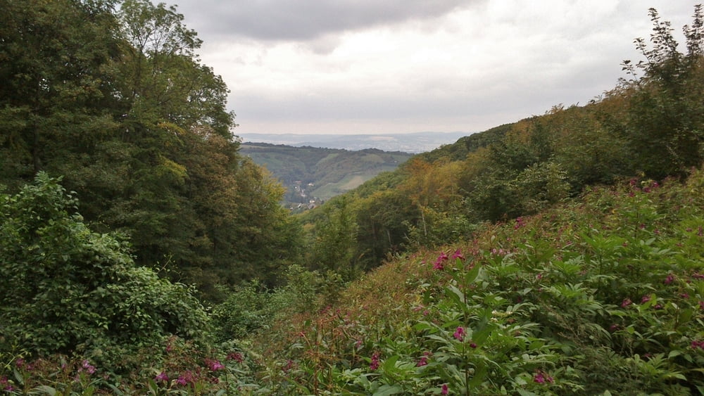
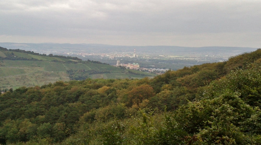
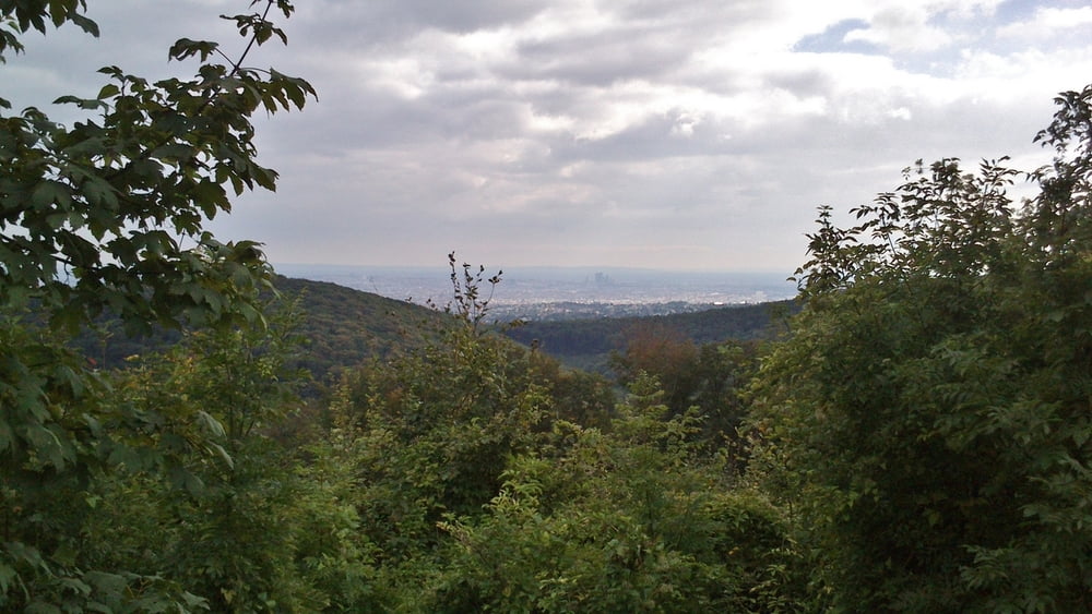
Ausgangspunkt ist der Grüass Di a Gott Wirt. Ein kleine Stück auf der Straße Richtung Weidlgbach danach rechts in die Forstraße. Immer am Hang entlang bis zur Abzweigung zur Sulzwiese. Auf dem Kamm und unterhalb vom Hermannskogel reotur.

Галерея маршрутов

Карта маршрута и высотный профиль

  • Open Street Map
  • Google
Minimum height 329 m Maximum height 498 m Детальный вид

More about the tour author

Herbiy
Member since 2009

Send private message

Комментарии

GPS-Tracks

Trackpoints
  • GPX / Garmin Map Source (gpx) download
  • TCX / Garmin Training Center® (tcx) download
  • CRS / Garmin Training Center® (crs) download
  • Google Earth (kml) download
  • G7ToWin (g7t) download
  • TTQV (trk) download
  • Overlay (ovl) download
  • Fugawi (txt) download
  • Kompass (DAV) Track (tk) download
  • Формуляр маршрута (pdf) download
  • Original file of the author (gpx) download

More about the tour author

Herbiy
Member since 2009

Send private message
Share track
Add to my favorites
Remove from my favorites
Edit tags
My score
Rate
Маршрут: Rund um den Hermannskogel
Вид: Пешеходный туризм
Длина: 12,6 km
Evaluated on:
Длительность:
Day(s)
Hour(s)
Minute(s)
Оценка: Ландшафт Веселье Кондиция Техника