Login

Забыл пароль?

Cookies have to be accepted!
Your browser's cookie functionality is disabled. Please enable this functionality.

Not a member yet?

Register now
Login

Available for registred users only

Log in to use this feature.

Забыл пароль?

Cookies have to be accepted!
Your browser's cookie functionality is disabled. Please enable this functionality.

Not a member yet?

Register now
Filter
Категории
Advanced filters
  • Длина (км)
  • Высотомер
Сохранить фильтр Reset filter

TrackRank

QRCode

Technical data

Длина14,3 km Высотомер374 m Way down309 m Длительность04:00 h:m Дата26.09.2013
Оценки Author Ландшафт Веселье Кондиция Техника

Статистика

1096 Виды Оценки 64 Загрузки Среднее
Rate
  • Формуляр маршрута
  • Дорога
  • Загрузки

24.09.2013

Gerhard
Klaus
Manfred

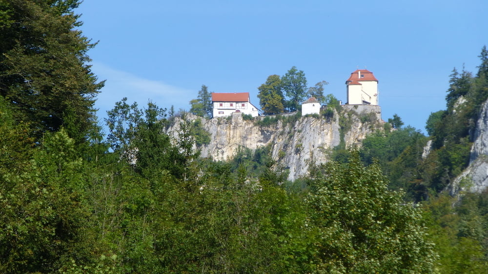
Zu Beginn der Tour war es noch sehr vernebelt, was sich aber gegen Mittag legte.

Ein schönes Wandergebiet.


Further information at

http://www.donaubergland.de

Галерея маршрутов

Карта маршрута и высотный профиль

  • Open Street Map
  • Google
Minimum height 575 m Maximum height 804 m Детальный вид

More about the tour author

plattfuss
Member since 2007

Send private message

Комментарии

Parkplatz beim Kloster Beuron


GPS-Tracks

Trackpoints
  • GPX / Garmin Map Source (gpx) download
  • TCX / Garmin Training Center® (tcx) download
  • CRS / Garmin Training Center® (crs) download
  • Google Earth (kml) download
  • G7ToWin (g7t) download
  • TTQV (trk) download
  • Overlay (ovl) download
  • Fugawi (txt) download
  • Kompass (DAV) Track (tk) download
  • Формуляр маршрута (pdf) download
  • Original file of the author (gpx) download

More about the tour author

plattfuss
Member since 2007

Send private message
Share track
Add to my favorites
Remove from my favorites
Edit tags
My score
Rate
Маршрут: Im Donautal bei Beuron
Вид: Пешеходный туризм
Длина: 14,3 km
Evaluated on:
Длительность:
Day(s)
Hour(s)
Minute(s)
Оценка: Ландшафт Веселье Кондиция Техника