Login

Забыл пароль?

Cookies have to be accepted!
Your browser's cookie functionality is disabled. Please enable this functionality.

Not a member yet?

Register now
Login

Available for registred users only

Log in to use this feature.

Забыл пароль?

Cookies have to be accepted!
Your browser's cookie functionality is disabled. Please enable this functionality.

Not a member yet?

Register now
Filter
Категории
Advanced filters
  • Длина (км)
  • Высотомер
Сохранить фильтр Reset filter

TrackRank

QRCode

Technical data

Длина116,3 km Высотомер1621 m Way down2446 m Длительность06:45 h:m Дата29.09.2013
Оценки Author Ландшафт Веселье Кондиция Техника

Статистика

252 Виды Оценки 32 Загрузки Среднее
Rate
  • Формуляр маршрута
  • Дорога
  • Загрузки

Abschlussfahrt mit dem Skiclub Fröhnd.

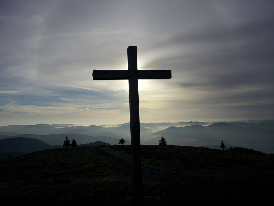
Start ist die Talstation der Bechenbahn im Südsschwarzwald. Von dort aus ging es über den Gipfel vom Deutschen Belchen zum Belchenflue in der Schweiz


Галерея маршрутов

Карта маршрута и высотный профиль

  • Open Street Map
  • Google
Minimum height 205 m Maximum height 1373 m Детальный вид

More about the tour author

WeissManuel
Member since 2010

Send private message

Комментарии

GPS-Tracks

Trackpoints
  • GPX / Garmin Map Source (gpx) download
  • TCX / Garmin Training Center® (tcx) download
  • CRS / Garmin Training Center® (crs) download
  • Google Earth (kml) download
  • G7ToWin (g7t) download
  • TTQV (trk) download
  • Overlay (ovl) download
  • Fugawi (txt) download
  • Kompass (DAV) Track (tk) download
  • Формуляр маршрута (pdf) download
  • Original file of the author (tcx) download

More about the tour author

WeissManuel
Member since 2010

Send private message
Share track
Add to my favorites
Remove from my favorites
Edit tags
My score
Rate
Маршрут: Belchen zum Belchenflue
Вид: Горный велосипед
Длина: 116,3 km
Evaluated on:
Длительность:
Day(s)
Hour(s)
Minute(s)
Оценка: Ландшафт Веселье Кондиция Техника