Login

Забыл пароль?

Cookies have to be accepted!
Your browser's cookie functionality is disabled. Please enable this functionality.

Not a member yet?

Register now
Login

Available for registred users only

Log in to use this feature.

Забыл пароль?

Cookies have to be accepted!
Your browser's cookie functionality is disabled. Please enable this functionality.

Not a member yet?

Register now
Filter
Категории
Advanced filters
  • Длина (км)
  • Высотомер
Сохранить фильтр Reset filter

TrackRank

QRCode

Technical data

Длина45,6 km Высотомер1000 m Way down1000 m Длительность05:00 h:m Дата01.10.2013
Оценки Author Ландшафт Веселье Кондиция Техника

Статистика

374 Виды Оценки 53 Загрузки Среднее
Rate
  • Формуляр маршрута
  • Дорога
  • Загрузки

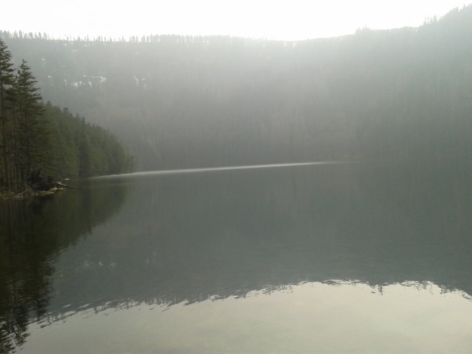
Abwechslungsreiche, technisch weniger anspruchsvolle Strecke. Landschaftlich sehr reizvoll vor allem im Bereich des Cerne Jezero. Gute Einkehrmöglichkeit bei Kolleruv Kostel mit hervorragender böhmischer Küche


Галерея маршрутов

Карта маршрута и высотный профиль

  • Open Street Map
  • Google
Minimum height 530 m Maximum height 1102 m Детальный вид

More about the tour author

Radlerer
Member since 2013

Send private message

Комментарии

GPS-Tracks

Trackpoints
  • GPX / Garmin Map Source (gpx) download
  • TCX / Garmin Training Center® (tcx) download
  • CRS / Garmin Training Center® (crs) download
  • Google Earth (kml) download
  • G7ToWin (g7t) download
  • TTQV (trk) download
  • Overlay (ovl) download
  • Fugawi (txt) download
  • Kompass (DAV) Track (tk) download
  • Формуляр маршрута (pdf) download
  • Original file of the author (gpx) download

More about the tour author

Radlerer
Member since 2013

Send private message
Share track
Add to my favorites
Remove from my favorites
Edit tags
My score
Rate
Маршрут: Böhmen und Bayerwald
Вид: Горный велосипед
Длина: 45,6 km
Evaluated on:
Длительность:
Day(s)
Hour(s)
Minute(s)
Оценка: Ландшафт Веселье Кондиция Техника