Login

Забыл пароль?

Cookies have to be accepted!
Your browser's cookie functionality is disabled. Please enable this functionality.

Not a member yet?

Register now
Login

Available for registred users only

Log in to use this feature.

Забыл пароль?

Cookies have to be accepted!
Your browser's cookie functionality is disabled. Please enable this functionality.

Not a member yet?

Register now
Filter
Категории
Advanced filters
  • Длина (км)
  • Высотомер
Сохранить фильтр Reset filter

TrackRank

QRCode

Technical data

Длина6,6 km Высотомер290 m Way down262 m Длительность02:00 h:m Дата03.10.2013
Оценки Author Ландшафт Веселье Кондиция Техника

Статистика

85 Виды Оценки 11 Загрузки Среднее
Rate
  • Формуляр маршрута
  • Дорога
  • Загрузки
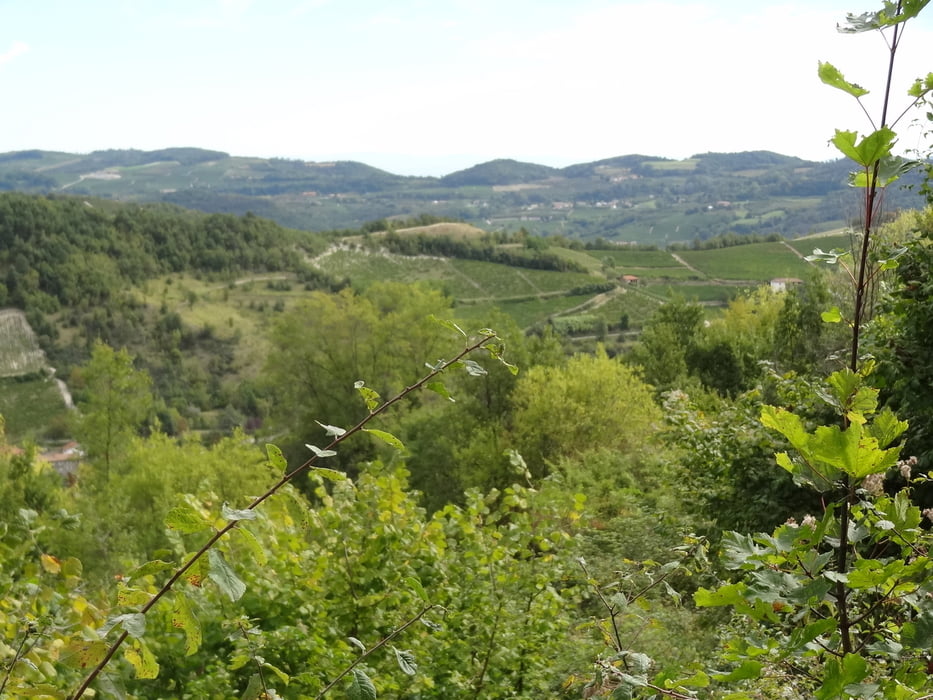
Diese Tour verläuft auf Waldwegen und Pfaden. Am höchsten Punkt angekommen befindet sich die Kapelle San Belbo.

Галерея маршрутов

Карта маршрута и высотный профиль

  • Open Street Map
  • Google
Minimum height 300 m Maximum height 595 m Детальный вид

More about the tour author

rödivomsee
Member since 2008

Send private message

Комментарии

Parkmöglichkeit über dem Fluß Torente Belbo an der SS 592.

GPS-Tracks

Trackpoints
  • GPX / Garmin Map Source (gpx) download
  • TCX / Garmin Training Center® (tcx) download
  • CRS / Garmin Training Center® (crs) download
  • Google Earth (kml) download
  • G7ToWin (g7t) download
  • TTQV (trk) download
  • Overlay (ovl) download
  • Fugawi (txt) download
  • Kompass (DAV) Track (tk) download
  • Формуляр маршрута (pdf) download
  • Original file of the author (gpx) download

More about the tour author

rödivomsee
Member since 2008

Send private message
Share track
Add to my favorites
Remove from my favorites
Edit tags
My score
Rate
Маршрут: San Bovo
Вид: Пешеходный туризм
Длина: 6,6 km
Evaluated on:
Длительность:
Day(s)
Hour(s)
Minute(s)
Оценка: Ландшафт Веселье Кондиция Техника