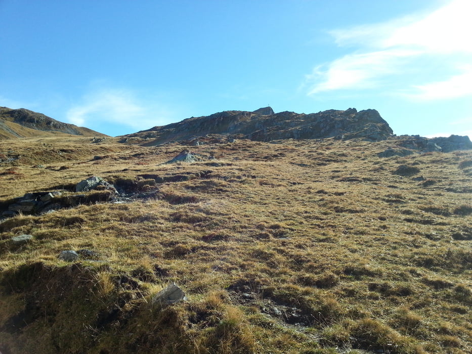
Von der Talstation der Tafamunt-Bahn bis zur inoffiziellen Bergstation (1478 m). Von dort ging es sehr steil hinauf bis zur Hochalpe. Wunderschön. Vorbei am aufgegebenen Berghaus Versal zum Jöchl. Rechts ab zur Versalspitze. Abstieg in Richtung Alpe Verbella und auf dem Wormser Höhenweg durch ein großes Hochmoor zurück zur Bergstation der Bergbahn (Einkehrmöglichkeit in die Hütte).
Галерея маршрутов
Карта маршрута и высотный профиль
Minimum height 1538 m
Maximum height 2467 m
Комментарии

Montafon - Partenen - Talstation der Tafamunt-Bergbahn
GPS-Tracks
Trackpoints-
GPX / Garmin Map Source (gpx) download
-
TCX / Garmin Training Center® (tcx) download
-
CRS / Garmin Training Center® (crs) download
-
Google Earth (kml) download
-
G7ToWin (g7t) download
-
TTQV (trk) download
-
Overlay (ovl) download
-
Fugawi (txt) download
-
Kompass (DAV) Track (tk) download
-
Формуляр маршрута (pdf) download
-
Original file of the author (gpx) download
Add to my favorites
Remove from my favorites
Edit tags
Open track
My score
Rate


