Login

Забыл пароль?

Cookies have to be accepted!
Your browser's cookie functionality is disabled. Please enable this functionality.

Not a member yet?

Register now
Login

Available for registred users only

Log in to use this feature.

Забыл пароль?

Cookies have to be accepted!
Your browser's cookie functionality is disabled. Please enable this functionality.

Not a member yet?

Register now
Filter
Категории
Advanced filters
  • Длина (км)
  • Высотомер
Сохранить фильтр Reset filter

TrackRank

QRCode

Technical data

Длина6,8 km Высотомер241 m Way down221 m Длительность01:00 h:m Дата02.11.2013
Оценки Author Ландшафт Веселье Кондиция Техника

Статистика

187 Виды Оценки 14 Загрузки Среднее
Rate
  • Формуляр маршрута
  • Дорога
  • Загрузки

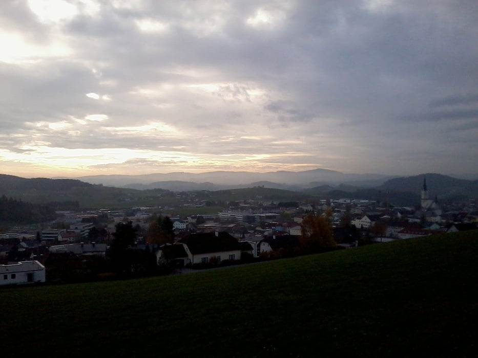
Wander,- Lauf,- oder Walking Tour zur Buchetkapelle


Die Tour verläuft großteils im Wald. Auf dem Weg kommt man an der Buchetkapelle vorbei. Weiters entlang des Kreubaches geht's über einen Höhenrücken retour nach Rohrbach.


Галерея маршрутов

Карта маршрута и высотный профиль

  • Open Street Map
  • Google
Minimum height 531 m Maximum height 679 m Детальный вид

More about the tour author

Hoar
Member since 2009

Send private message

Комментарии

Start und Ziel in Rohrbach in Oberösterreich

GPS-Tracks

Trackpoints
  • GPX / Garmin Map Source (gpx) download
  • TCX / Garmin Training Center® (tcx) download
  • CRS / Garmin Training Center® (crs) download
  • Google Earth (kml) download
  • G7ToWin (g7t) download
  • TTQV (trk) download
  • Overlay (ovl) download
  • Fugawi (txt) download
  • Kompass (DAV) Track (tk) download
  • Формуляр маршрута (pdf) download
  • Original file of the author (gpx) download

More about the tour author

Hoar
Member since 2009

Send private message
Share track
Add to my favorites
Remove from my favorites
Edit tags
My score
Rate
Маршрут: Buchetkapelle und Kreubachl bei Rohrbach in OÖ
Вид: Пешеходный туризм
Длина: 6,8 km
Evaluated on:
Длительность:
Day(s)
Hour(s)
Minute(s)
Оценка: Ландшафт Веселье Кондиция Техника