Login

Забыл пароль?

Cookies have to be accepted!
Your browser's cookie functionality is disabled. Please enable this functionality.

Not a member yet?

Register now
Login

Available for registred users only

Log in to use this feature.

Забыл пароль?

Cookies have to be accepted!
Your browser's cookie functionality is disabled. Please enable this functionality.

Not a member yet?

Register now
Filter
Категории
Advanced filters
  • Длина (км)
  • Высотомер
Сохранить фильтр Reset filter

TrackRank

QRCode

Technical data

Длина70,5 km Высотомер1111 m Way down1111 m Длительность04:30 h:m Дата07.11.2013
Оценки Author Ландшафт Веселье Кондиция Техника

Статистика

217 Виды Оценки 21 Загрузки Среднее
Rate
  • Формуляр маршрута
  • Дорога
  • Загрузки

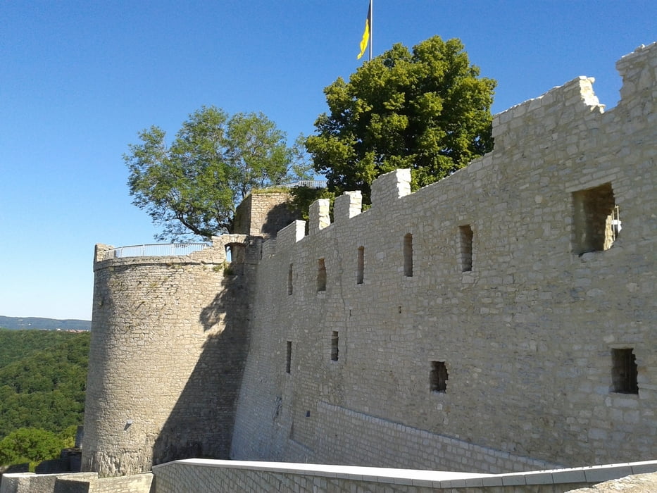
Reutlingen - Neckartenzlingen - Ruine Hohenneuffen


eine abwechslungsreiche Tour die mit einer normalen Kondition gut zu schaffen ist.
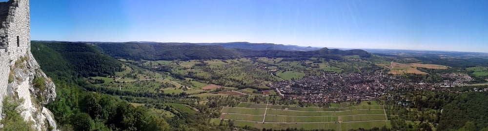
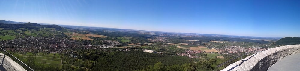
Schöne aussichten auf das Neckartal und den Abtrauf


Галерея маршрутов

Карта маршрута и высотный профиль

  • Open Street Map
  • Google
Minimum height 292 m Maximum height 737 m Детальный вид

More about the tour author

Alwin
Member since 2008

Send private message

Комментарии

GPS-Tracks

Trackpoints
  • GPX / Garmin Map Source (gpx) download
  • TCX / Garmin Training Center® (tcx) download
  • CRS / Garmin Training Center® (crs) download
  • Google Earth (kml) download
  • G7ToWin (g7t) download
  • TTQV (trk) download
  • Overlay (ovl) download
  • Fugawi (txt) download
  • Kompass (DAV) Track (tk) download
  • Формуляр маршрута (pdf) download
  • Original file of the author (gpx) download

More about the tour author

Alwin
Member since 2008

Send private message
Share track
Add to my favorites
Remove from my favorites
Edit tags
My score
Rate
Маршрут: Ruine Hohenneuffen
Вид: Горный велосипед
Длина: 70,5 km
Evaluated on:
Длительность:
Day(s)
Hour(s)
Minute(s)
Оценка: Ландшафт Веселье Кондиция Техника