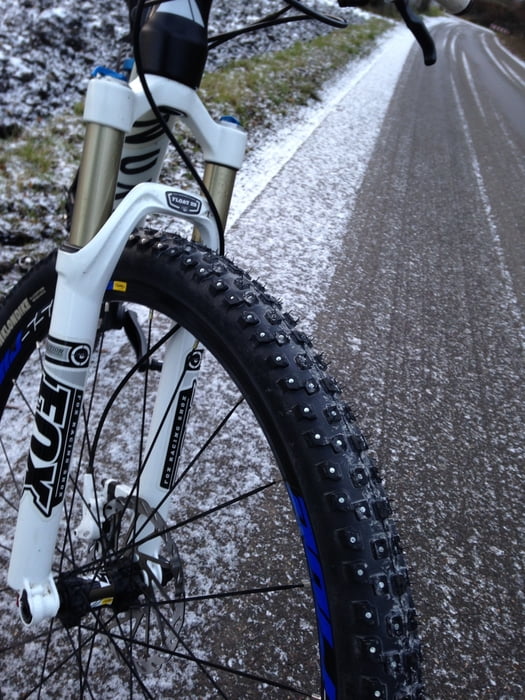
Trainingsrunde zum Ampersee, immer in der Nähe der A8, das meiste zum Rollen auf Nebenstrassen und ein paar Trails am See.
Further information at
http://www.biketransalp.deКарта маршрута и высотный профиль
Minimum height 496 m
Maximum height 527 m
Комментарии

GPS-Tracks
Trackpoints-
GPX / Garmin Map Source (gpx) download
-
TCX / Garmin Training Center® (tcx) download
-
CRS / Garmin Training Center® (crs) download
-
Google Earth (kml) download
-
G7ToWin (g7t) download
-
TTQV (trk) download
-
Overlay (ovl) download
-
Fugawi (txt) download
-
Kompass (DAV) Track (tk) download
-
Формуляр маршрута (pdf) download
-
Original file of the author (gpx) download
Add to my favorites
Remove from my favorites
Edit tags
Open track
My score
Rate


