Login

Забыл пароль?

Cookies have to be accepted!
Your browser's cookie functionality is disabled. Please enable this functionality.

Not a member yet?

Register now
Login

Available for registred users only

Log in to use this feature.

Забыл пароль?

Cookies have to be accepted!
Your browser's cookie functionality is disabled. Please enable this functionality.

Not a member yet?

Register now
Filter
Категории
Advanced filters
  • Длина (км)
  • Высотомер
Сохранить фильтр Reset filter

TrackRank

QRCode

Technical data

Длина11,3 km Высотомер28 m Way down277 m Длительность00:00 h:m Дата30.12.2013
Оценки Author Ландшафт Веселье Кондиция Техника

Статистика

276 Виды Оценки 12 Загрузки Среднее
Rate
  • Формуляр маршрута
  • Дорога
  • Загрузки

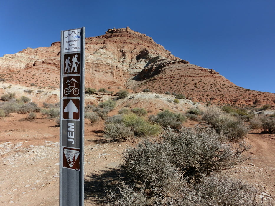
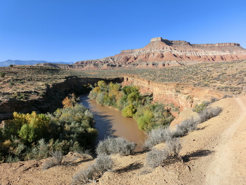
Grossartiger Trail entlang des Hurricane Cliffsystems beim Virgin River.

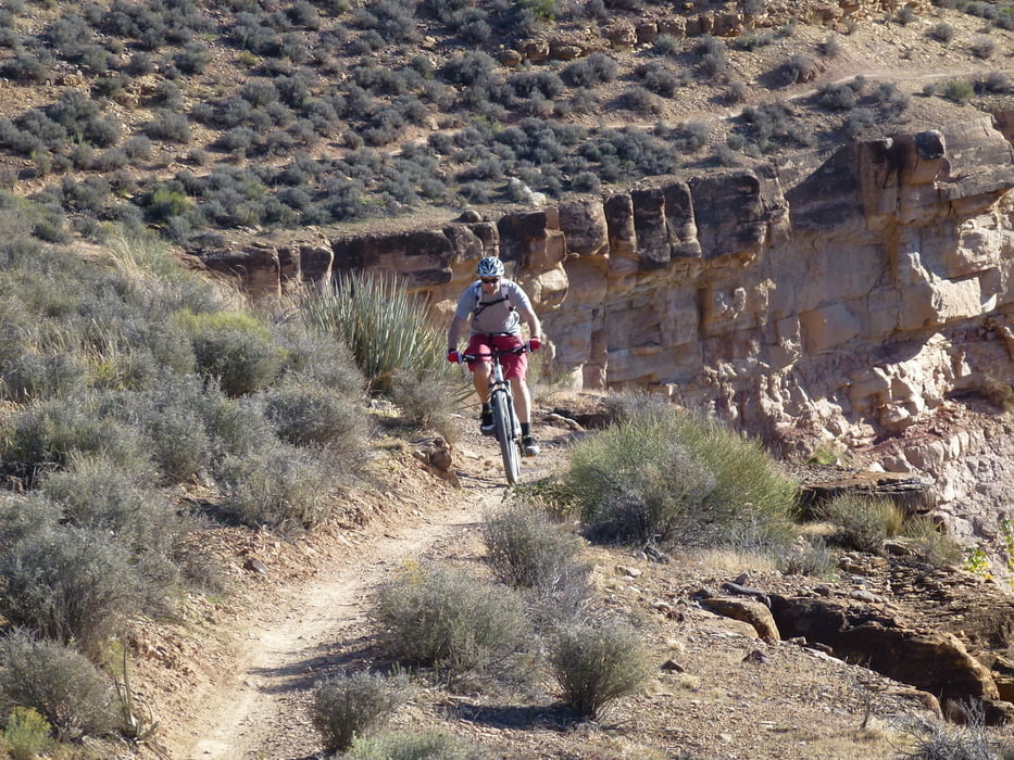
Flowige, technische Fahrt mit vielen Kurven und kurzen engen Stellen entlang des Flusses.


Галерея маршрутов

Карта маршрута и высотный профиль

  • Open Street Map
  • Google
Minimum height 925 m Maximum height 1180 m Детальный вид

More about the tour author

abauchinger
Member since 2012

Send private message

Комментарии

Start in der Nähe von La Verkin am Rande des Zion National Parks.


GPS-Tracks

Trackpoints
  • GPX / Garmin Map Source (gpx) download
  • TCX / Garmin Training Center® (tcx) download
  • CRS / Garmin Training Center® (crs) download
  • Google Earth (kml) download
  • G7ToWin (g7t) download
  • TTQV (trk) download
  • Overlay (ovl) download
  • Fugawi (txt) download
  • Kompass (DAV) Track (tk) download
  • Формуляр маршрута (pdf) download
  • Original file of the author (tcx) download

More about the tour author

abauchinger
Member since 2012

Send private message
Share track
Add to my favorites
Remove from my favorites
Edit tags
My score
Rate
Маршрут: JEM Trail
Вид: Горный велосипед
Длина: 11,3 km
Evaluated on:
Длительность:
Day(s)
Hour(s)
Minute(s)
Оценка: Ландшафт Веселье Кондиция Техника