Login

Забыл пароль?

Cookies have to be accepted!
Your browser's cookie functionality is disabled. Please enable this functionality.

Not a member yet?

Register now
Login

Available for registred users only

Log in to use this feature.

Забыл пароль?

Cookies have to be accepted!
Your browser's cookie functionality is disabled. Please enable this functionality.

Not a member yet?

Register now
Filter
Категории
Advanced filters
  • Длина (км)
  • Высотомер
Сохранить фильтр Reset filter

TrackRank

QRCode

Technical data

Длина7,0 km Высотомер1100 m Way down21 m Длительность00:00 h:m Дата02.01.2014
Оценки Author Ландшафт Веселье Кондиция Техника

Статистика

411 Виды Оценки 22 Загрузки Среднее
Rate
  • Формуляр маршрута
  • Дорога
  • Загрузки

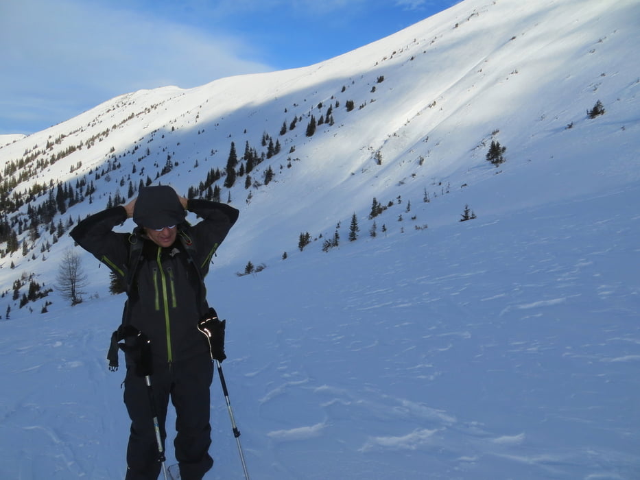
Parkmöglichkeit beim Gasthof Almwirt, von dort über eine Wiese und einer leicht ansteigende Forststrasse weiter zu einer Mulde. Jetzt sieht man zum ersten mal den Gipfelhang. Sehr schöne, leichte Skitour. Das Gasthaus hat nicht immer offen Einkehrmöglichkeit im Ort Oppenberg.


mehr Bilder:    seppdepp.heim.at


Галерея маршрутов

Карта маршрута и высотный профиль

  • Open Street Map
  • Google
Minimum height 1095 m Maximum height 2178 m Детальный вид

More about the tour author

Atzbach
Member since 2009

Send private message

Комментарии

GPS-Tracks

Trackpoints
  • GPX / Garmin Map Source (gpx) download
  • TCX / Garmin Training Center® (tcx) download
  • CRS / Garmin Training Center® (crs) download
  • Google Earth (kml) download
  • G7ToWin (g7t) download
  • TTQV (trk) download
  • Overlay (ovl) download
  • Fugawi (txt) download
  • Kompass (DAV) Track (tk) download
  • Формуляр маршрута (pdf) download
  • Original file of the author (gpx) download

More about the tour author

Atzbach
Member since 2009

Send private message
Share track
Add to my favorites
Remove from my favorites
Edit tags
My score
Rate
Маршрут: Hochschwung 2196m
Вид: Лыжи
Длина: 7,0 km
Evaluated on:
Длительность:
Day(s)
Hour(s)
Minute(s)
Оценка: Ландшафт Веселье Кондиция Техника