Login

Забыл пароль?

Cookies have to be accepted!
Your browser's cookie functionality is disabled. Please enable this functionality.

Not a member yet?

Register now
Login

Available for registred users only

Log in to use this feature.

Забыл пароль?

Cookies have to be accepted!
Your browser's cookie functionality is disabled. Please enable this functionality.

Not a member yet?

Register now
Filter
Категории
Advanced filters
  • Длина (км)
  • Высотомер
Сохранить фильтр Reset filter

TrackRank

QRCode

Technical data

Длина9,3 km Высотомер920 m Way down901 m Длительность01:50 h:m Дата12.01.2014
Оценки Author Ландшафт Веселье Кондиция Техника

Статистика

194 Виды Оценки 20 Загрузки Среднее
Rate
  • Формуляр маршрута
  • Дорога
  • Загрузки

Aufstieg: 1Std. 35min.

Abfahrt: 15min.

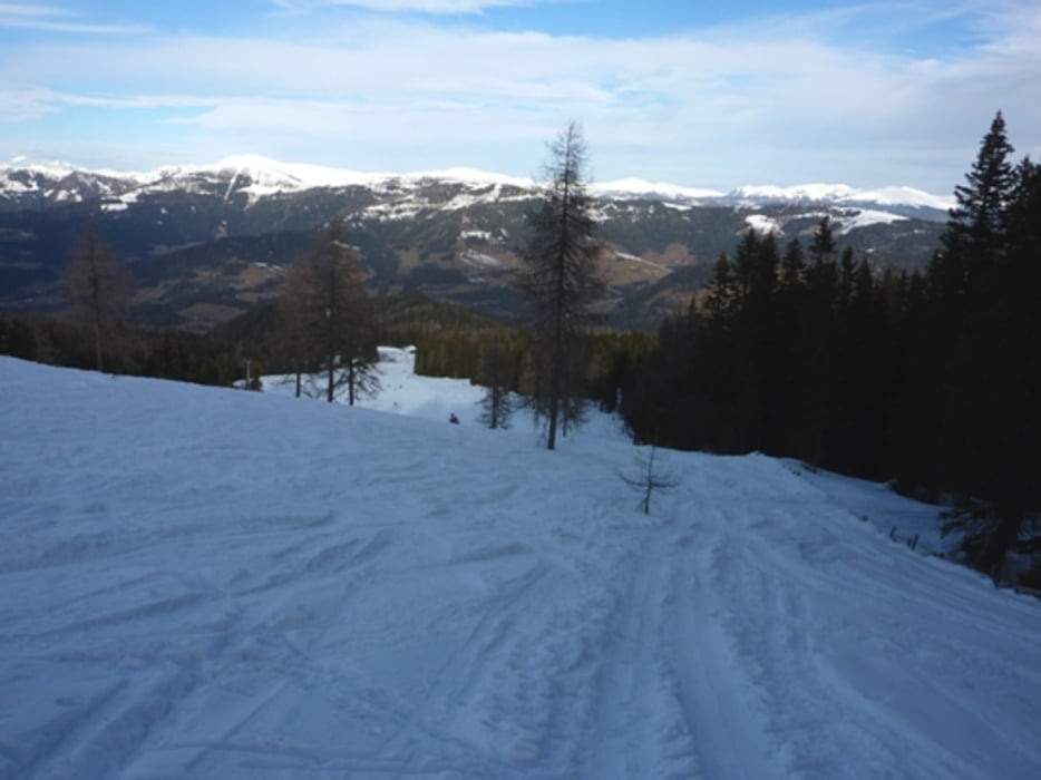
Von der Talstation auf der Piste bis knapp unter der Mittelstation dann in den Wald und weiter zum Gipfel.


Галерея маршрутов

Карта маршрута и высотный профиль

  • Open Street Map
  • Google
Minimum height 986 m Maximum height 1907 m Детальный вид

More about the tour author

harald07071
Member since 2008

Send private message

Комментарии

A2 Abfahrt Villach Ossiacher See dann Richtung Treffen dann weiter nach Arriach zur Talstation Klösterlebahn.

GPS-Tracks

Trackpoints
  • GPX / Garmin Map Source (gpx) download
  • TCX / Garmin Training Center® (tcx) download
  • CRS / Garmin Training Center® (crs) download
  • Google Earth (kml) download
  • G7ToWin (g7t) download
  • TTQV (trk) download
  • Overlay (ovl) download
  • Fugawi (txt) download
  • Kompass (DAV) Track (tk) download
  • Формуляр маршрута (pdf) download
  • Original file of the author (gpx) download

More about the tour author

harald07071
Member since 2008

Send private message
Share track
Add to my favorites
Remove from my favorites
Edit tags
My score
Rate
Маршрут: Gerlitzen (1909m)
Вид: Лыжи
Длина: 9,3 km
Evaluated on:
Длительность:
Day(s)
Hour(s)
Minute(s)
Оценка: Ландшафт Веселье Кондиция Техника