Login

Забыл пароль?

Cookies have to be accepted!
Your browser's cookie functionality is disabled. Please enable this functionality.

Not a member yet?

Register now
Login

Available for registred users only

Log in to use this feature.

Забыл пароль?

Cookies have to be accepted!
Your browser's cookie functionality is disabled. Please enable this functionality.

Not a member yet?

Register now
Filter
Категории
Advanced filters
  • Длина (км)
  • Высотомер
Сохранить фильтр Reset filter

TrackRank

QRCode

Technical data

Длина8,4 km Высотомер282 m Way down290 m Длительность02:00 h:m Дата17.01.2014
Оценки Author Ландшафт Веселье Кондиция Техника

Статистика

147 Виды Оценки 11 Загрузки Среднее
Rate
  • Формуляр маршрута
  • Дорога
  • Загрузки
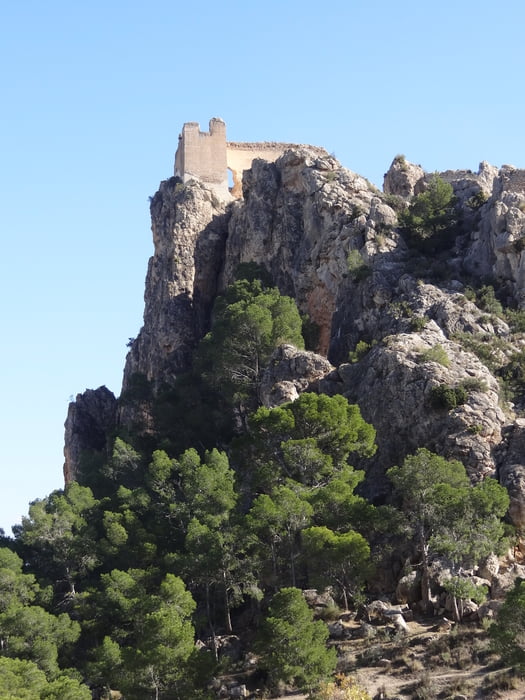
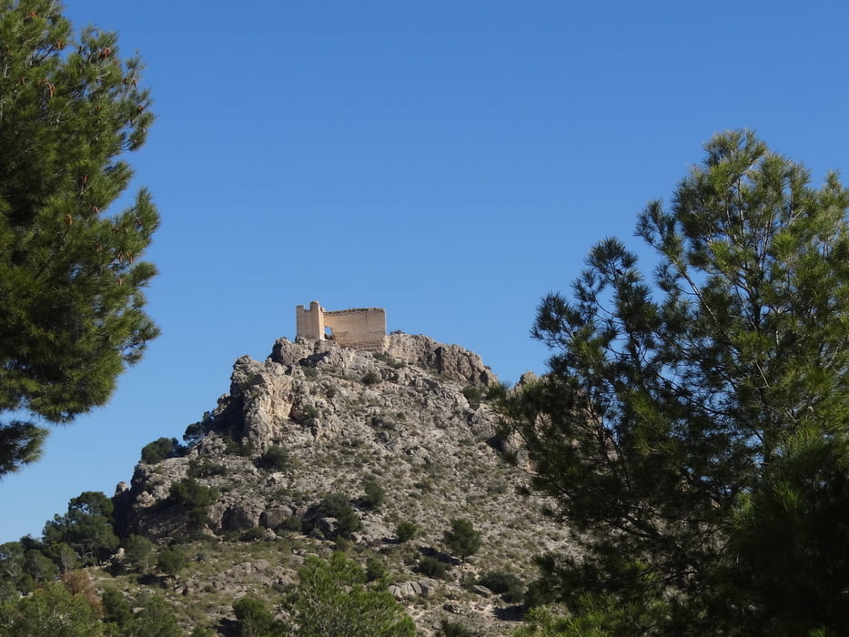
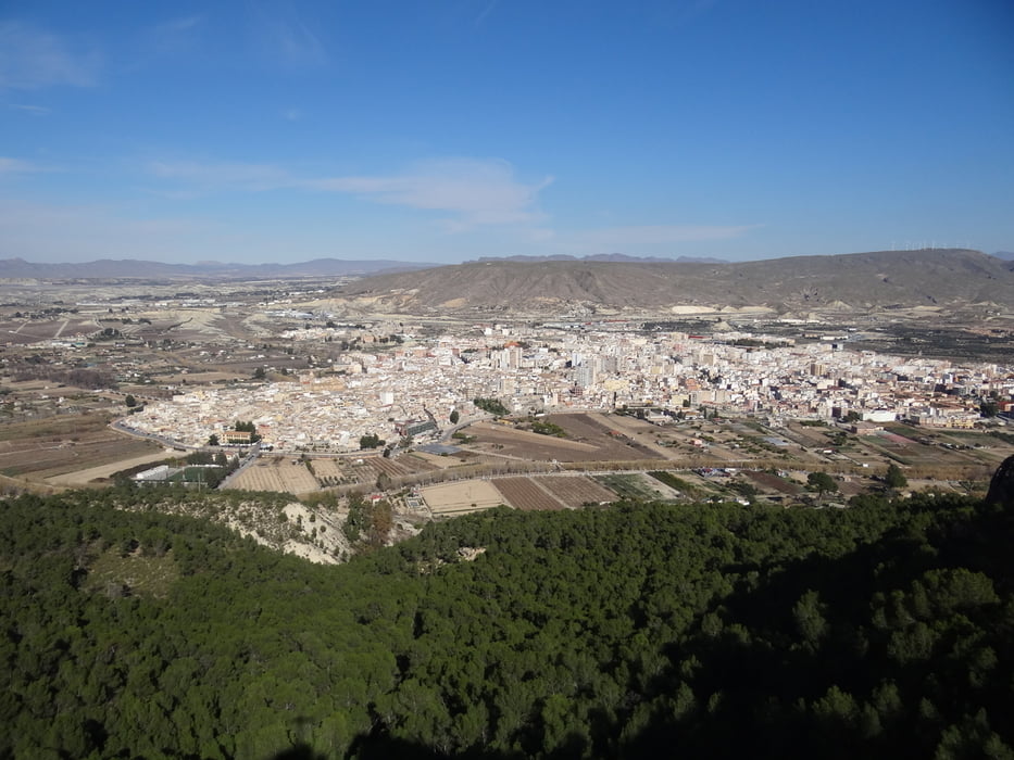
Wandeling rond de berg waarop de ruïnes van het Castillo staan. De wandeling voert door een prachtige natuur met mooie vergezichten en uitzicht op prachtig gevormde steile rotswanden. Tot slot hebben we nog een klein stukje van de oude stad Cieza bekeken.

Галерея маршрутов

Карта маршрута и высотный профиль

  • Open Street Map
  • Google
Minimum height 153 m Maximum height 377 m Детальный вид

More about the tour author

eddavids
Member since 2012

Send private message

Комментарии

GPS-Tracks

Trackpoints
  • GPX / Garmin Map Source (gpx) download
  • TCX / Garmin Training Center® (tcx) download
  • CRS / Garmin Training Center® (crs) download
  • Google Earth (kml) download
  • G7ToWin (g7t) download
  • TTQV (trk) download
  • Overlay (ovl) download
  • Fugawi (txt) download
  • Kompass (DAV) Track (tk) download
  • Формуляр маршрута (pdf) download
  • Original file of the author (gpx) download

More about the tour author

eddavids
Member since 2012

Send private message
Share track
Add to my favorites
Remove from my favorites
Edit tags
My score
Rate
Маршрут: Cieza
Вид: Пешеходный туризм
Длина: 8,4 km
Evaluated on:
Длительность:
Day(s)
Hour(s)
Minute(s)
Оценка: Ландшафт Веселье Кондиция Техника