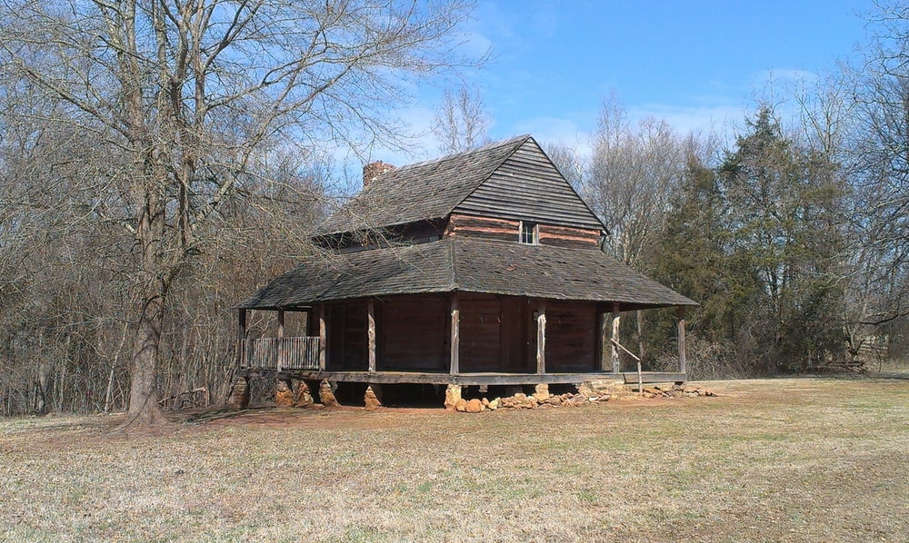
Easy walk through the Anne Close SpringsClose Greenway Nature Loops on the mostly well marked hicking trails (Lake Haigler, Hickory, Wild Azalea, Muscadine, Blue Star, Prairie, Field Trail).
Many of the trails aren also used as horse trail.
Галерея маршрутов
Карта маршрута и высотный профиль
Minimum height 147 m
Maximum height 243 m
Комментарии

Coming from the Springfield Parkway, you can start at the paking lot of the Diary Barn or the Natue Centre, if coming from the Highway 21 Bypass..
GPS-Tracks
Trackpoints-
GPX / Garmin Map Source (gpx) download
-
TCX / Garmin Training Center® (tcx) download
-
CRS / Garmin Training Center® (crs) download
-
Google Earth (kml) download
-
G7ToWin (g7t) download
-
TTQV (trk) download
-
Overlay (ovl) download
-
Fugawi (txt) download
-
Kompass (DAV) Track (tk) download
-
Формуляр маршрута (pdf) download
-
Original file of the author (gpx) download
Add to my favorites
Remove from my favorites
Edit tags
Open track
My score
Rate


