Login

Забыл пароль?

Cookies have to be accepted!
Your browser's cookie functionality is disabled. Please enable this functionality.

Not a member yet?

Register now
Login

Available for registred users only

Log in to use this feature.

Забыл пароль?

Cookies have to be accepted!
Your browser's cookie functionality is disabled. Please enable this functionality.

Not a member yet?

Register now
Filter
Категории
Advanced filters
  • Длина (км)
  • Высотомер
Сохранить фильтр Reset filter

TrackRank

QRCode

Technical data

Длина12,9 km Высотомер525 m Way down527 m Длительность06:40 h:m Дата22.02.2014
Оценки Author Ландшафт Веселье Кондиция Техника

Статистика

314 Виды Оценки 80 Загрузки Среднее
Rate
  • Формуляр маршрута
  • Дорога
  • Загрузки
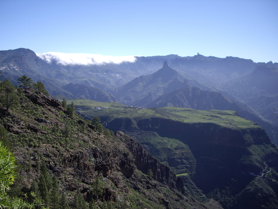
Einfache Wanderung auf breiten Wegen mit herrlichen Blick zum Nieves, Nublo und Teide

Карта маршрута и высотный профиль

  • Open Street Map
  • Google
Minimum height 1064 m Maximum height 1379 m Детальный вид

More about the tour author

Kraxel-1
Member since 2013

Send private message

Комментарии

Artenara GC-216 Richtung Tamadaba

GPS-Tracks

Trackpoints
  • GPX / Garmin Map Source (gpx) download
  • TCX / Garmin Training Center® (tcx) download
  • CRS / Garmin Training Center® (crs) download
  • Google Earth (kml) download
  • G7ToWin (g7t) download
  • TTQV (trk) download
  • Overlay (ovl) download
  • Fugawi (txt) download
  • Kompass (DAV) Track (tk) download
  • Формуляр маршрута (pdf) download
  • Original file of the author (gpx) download

More about the tour author

Kraxel-1
Member since 2013

Send private message
Share track
Add to my favorites
Remove from my favorites
Edit tags
My score
Rate
Маршрут: Altavista
Вид: Пешеходный туризм
Длина: 12,9 km
Evaluated on:
Длительность:
Day(s)
Hour(s)
Minute(s)
Оценка: Ландшафт Веселье Кондиция Техника