Login

Забыл пароль?

Cookies have to be accepted!
Your browser's cookie functionality is disabled. Please enable this functionality.

Not a member yet?

Register now
Login

Available for registred users only

Log in to use this feature.

Забыл пароль?

Cookies have to be accepted!
Your browser's cookie functionality is disabled. Please enable this functionality.

Not a member yet?

Register now
Filter
Категории
Advanced filters
  • Длина (км)
  • Высотомер
Сохранить фильтр Reset filter

TrackRank

QRCode

Technical data

Длина79,4 km Высотомер162 m Way down288 m Длительность1 day 0 h Дата23.02.2014
Оценки Author Ландшафт Веселье Кондиция Техника

Статистика

98 Виды Оценки 10 Загрузки Среднее
Rate
  • Формуляр маршрута
  • Дорога
  • Загрузки
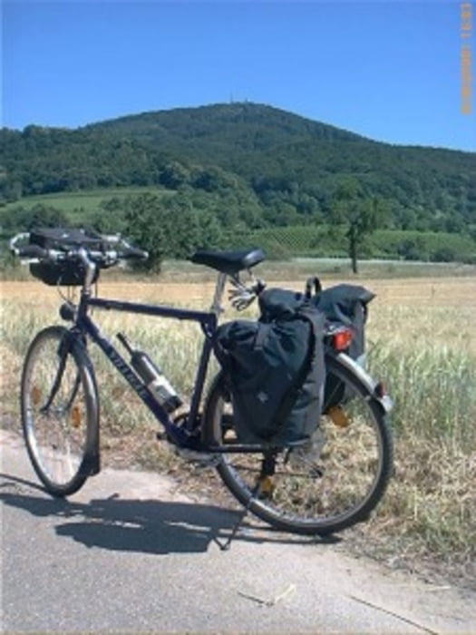
Das ist die 2. von 8 Etappen mit Start in Winterberg/Sauerland. Nachdem wir die Ruhr bis zur Mündung verfolgt haben, ging es den Rhein aufwärts nach Südhessen.

Further information at

http://www.biketripps.de

Карта маршрута и высотный профиль

  • Open Street Map
  • Google
Minimum height 103 m Maximum height 249 m Детальный вид

More about the tour author

JN
Member since 2009

Send private message

Комментарии

GPS-Tracks

Trackpoints
  • GPX / Garmin Map Source (gpx) download
  • TCX / Garmin Training Center® (tcx) download
  • CRS / Garmin Training Center® (crs) download
  • Google Earth (kml) download
  • G7ToWin (g7t) download
  • TTQV (trk) download
  • Overlay (ovl) download
  • Fugawi (txt) download
  • Kompass (DAV) Track (tk) download
  • Формуляр маршрута (pdf) download
  • Original file of the author (gpx) download

More about the tour author

JN
Member since 2009

Send private message
Share track
Add to my favorites
Remove from my favorites
Edit tags
My score
Rate
Маршрут: 2013 2/8 Ruhr-/Rhein-/Südhessentour
Вид: Трековый велосипед
Длина: 79,4 km
Evaluated on:
Длительность:
Day(s)
Hour(s)
Minute(s)
Оценка: Ландшафт Веселье Кондиция Техника