Login

Забыл пароль?

Cookies have to be accepted!
Your browser's cookie functionality is disabled. Please enable this functionality.

Not a member yet?

Register now
Login

Available for registred users only

Log in to use this feature.

Забыл пароль?

Cookies have to be accepted!
Your browser's cookie functionality is disabled. Please enable this functionality.

Not a member yet?

Register now
Filter
Категории
Advanced filters
  • Длина (км)
  • Высотомер
Сохранить фильтр Reset filter

TrackRank

QRCode

Technical data

Длина5,9 km Высотомер308 m Way down563 m Длительность01:50 h:m Дата13.01.2008
Оценки Author Ландшафт Веселье Кондиция Техника

Статистика

1013 Виды Оценки 121 Загрузки Среднее
Rate
  • Формуляр маршрута
  • Дорога
  • Загрузки

Карта маршрута и высотный профиль

  • Open Street Map
  • Google
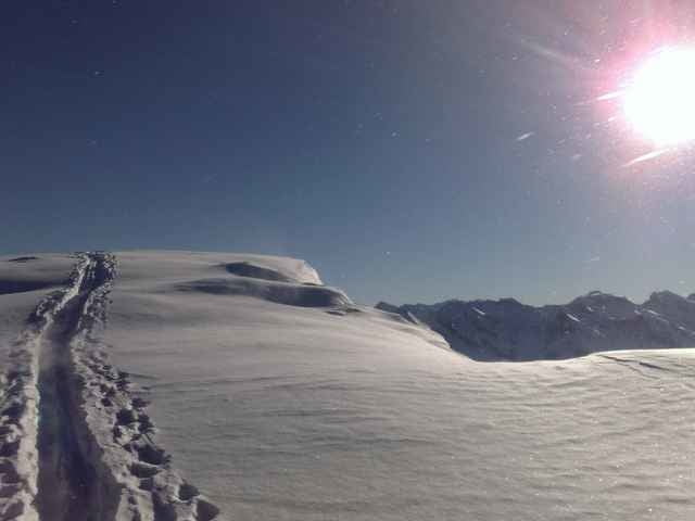
Minimum height 2169 m Maximum height 2720 m Детальный вид

More about the tour author

Elgun
Member since 2007

Send private message

Комментарии

GPS-Tracks

Trackpoints
  • GPX / Garmin Map Source (gpx) download
  • TCX / Garmin Training Center® (tcx) download
  • CRS / Garmin Training Center® (crs) download
  • Google Earth (kml) download
  • G7ToWin (g7t) download
  • TTQV (trk) download
  • Overlay (ovl) download
  • Fugawi (txt) download
  • Kompass (DAV) Track (tk) download
  • Формуляр маршрута (pdf) download
  • Original file of the author (gpx) download

More about the tour author

Elgun
Member since 2007

Send private message
Share track
Add to my favorites
Remove from my favorites
Edit tags
My score
Rate
Маршрут: 20080102 ST-Rastkogel
Вид: Лыжи
Длина: 5,9 km
Evaluated on:
Длительность:
Day(s)
Hour(s)
Minute(s)
Оценка: Ландшафт Веселье Кондиция Техника