Login

Забыл пароль?

Cookies have to be accepted!
Your browser's cookie functionality is disabled. Please enable this functionality.

Not a member yet?

Register now
Login

Available for registred users only

Log in to use this feature.

Забыл пароль?

Cookies have to be accepted!
Your browser's cookie functionality is disabled. Please enable this functionality.

Not a member yet?

Register now
Filter
Категории
Advanced filters
  • Длина (км)
  • Высотомер
Сохранить фильтр Reset filter

TrackRank

QRCode

Technical data

Длина84,8 km Высотомер1675 m Way down1679 m Длительность06:13 h:m Дата06.04.2014
Оценки Author Ландшафт Веселье Кондиция Техника

Статистика

229 Виды Оценки 12 Загрузки Среднее
Rate
  • Формуляр маршрута
  • Дорога
  • Загрузки

Direkter Weg nach Mödling zur Radbörse. Anninger über die Goldene Stiege.
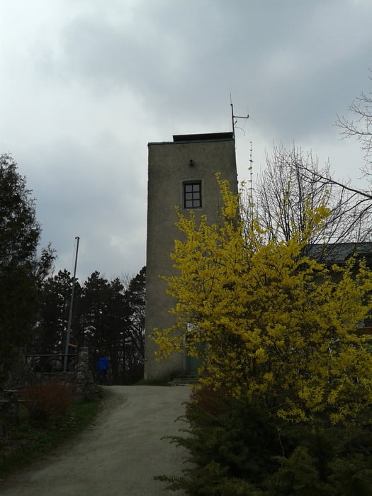
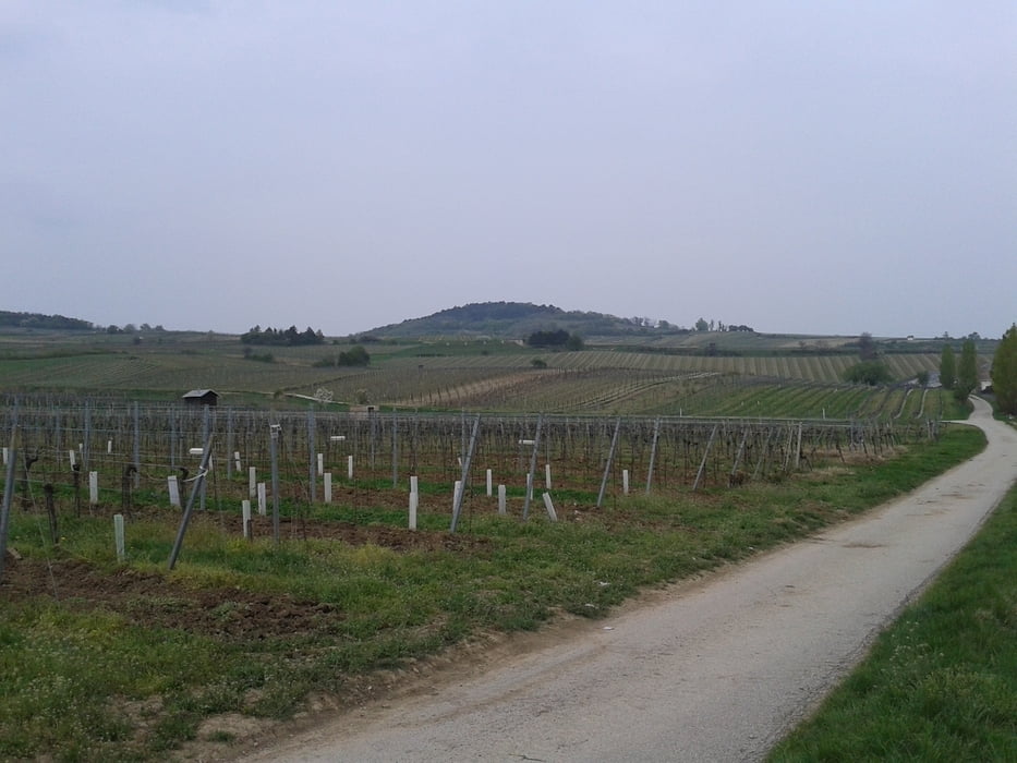
Heißer downhill vom Lindkogel und dann die Mühen der Ebene
durch die Weingärten.


Галерея маршрутов

Карта маршрута и высотный профиль

  • Open Street Map
  • Google
Minimum height 189 m Maximum height 836 m Детальный вид

Комментарии

Start in Meidling.


GPS-Tracks

Trackpoints
  • GPX / Garmin Map Source (gpx) download
  • TCX / Garmin Training Center® (tcx) download
  • CRS / Garmin Training Center® (crs) download
  • Google Earth (kml) download
  • G7ToWin (g7t) download
  • TTQV (trk) download
  • Overlay (ovl) download
  • Fugawi (txt) download
  • Kompass (DAV) Track (tk) download
  • Формуляр маршрута (pdf) download
  • Original file of the author (gpx) download
Share track
Add to my favorites
Remove from my favorites
Edit tags
My score
Rate
Маршрут: Wien-Mödling-Anninger-Lindkogel-Wien 140405
Вид: Горный велосипед
Длина: 84,8 km
Evaluated on:
Длительность:
Day(s)
Hour(s)
Minute(s)
Оценка: Ландшафт Веселье Кондиция Техника