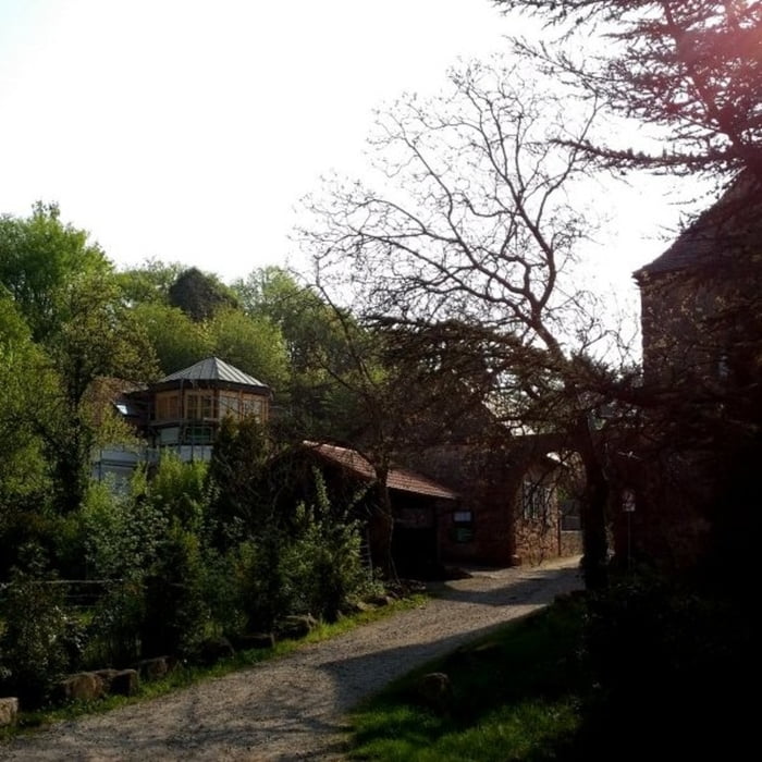
Startpunkt der Tour ist ein Parkplatz direkt bei der Kropsburg. Die Tour führt entlang des Kropsbachs zunächst zu den Hügelgräbern, die jedoch nur erkennbar sind wenn man weiß wo sich diese befinden. Anschließend geht es weiter an einem kleinen See vorbei hoch zu den Gletschermühlen beim Felsenmeer. Am Ende des Weges durch die Felsen befindet sich eine kleine Schutzhütte mit einem sehr schönen Blick ins Tal.
Галерея маршрутов
Карта маршрута и высотный профиль
Minimum height 270 m
Maximum height 626 m
Комментарии

GPS-Tracks
Trackpoints-
GPX / Garmin Map Source (gpx) download
-
TCX / Garmin Training Center® (tcx) download
-
CRS / Garmin Training Center® (crs) download
-
Google Earth (kml) download
-
G7ToWin (g7t) download
-
TTQV (trk) download
-
Overlay (ovl) download
-
Fugawi (txt) download
-
Kompass (DAV) Track (tk) download
-
Формуляр маршрута (pdf) download
-
Original file of the author (gpx) download
Add to my favorites
Remove from my favorites
Edit tags
Open track
My score
Rate


