Login

Забыл пароль?

Cookies have to be accepted!
Your browser's cookie functionality is disabled. Please enable this functionality.

Not a member yet?

Register now
Login

Available for registred users only

Log in to use this feature.

Забыл пароль?

Cookies have to be accepted!
Your browser's cookie functionality is disabled. Please enable this functionality.

Not a member yet?

Register now
Filter
Категории
Advanced filters
  • Длина (км)
  • Высотомер
Сохранить фильтр Reset filter

TrackRank

QRCode

Technical data

Длина6,7 km Высотомер472 m Way down459 m Длительность02:29 h:m Дата12.05.2014
Оценки Author Ландшафт Веселье Кондиция Техника

Статистика

1005 Виды Оценки 151 Загрузки Среднее
Rate
  • Формуляр маршрута
  • Дорога
  • Загрузки

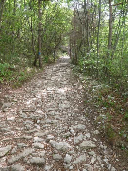
Schöner Rundweg mit Segrom-Überquerung,

man sieht etliche Schützengräben und Kriegsrelikte, Höhlen und Steilwände auf dieser gemütlichen Runde.

Am Paternoster kann man bei trockenen, schönen Wetter die Kletterer beobachten.

Галерея маршрутов

Карта маршрута и высотный профиль

  • Open Street Map
  • Google
Minimum height 219 m Maximum height 694 m Детальный вид

More about the tour author

buggi
Member since 2008

Send private message

Комментарии

Einstieg ist an einem kleinem Parkplatz mitten in Nago

GPS-Tracks

Trackpoints
  • GPX / Garmin Map Source (gpx) download
  • TCX / Garmin Training Center® (tcx) download
  • CRS / Garmin Training Center® (crs) download
  • Google Earth (kml) download
  • G7ToWin (g7t) download
  • TTQV (trk) download
  • Overlay (ovl) download
  • Fugawi (txt) download
  • Kompass (DAV) Track (tk) download
  • Формуляр маршрута (pdf) download
  • Original file of the author (gpx) download

More about the tour author

buggi
Member since 2008

Send private message
Share track
Add to my favorites
Remove from my favorites
Edit tags
My score
Rate
Маршрут: Auf dem 601 über den Segrom
Вид: Пешеходный туризм
Длина: 6,7 km
Evaluated on:
Длительность:
Day(s)
Hour(s)
Minute(s)
Оценка: Ландшафт Веселье Кондиция Техника