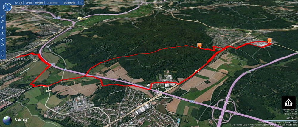
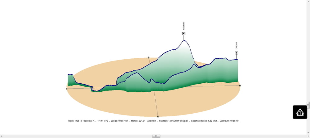
Nach einem heftigen Gewitter mit Hagel fuhr ich diese Variante von meiner Arbeitsstätte über die Passhöhe und des Taubentales zurück nach Schwarzenbach.
Ich dachte schon dass ich mich total einsauen würde. Dachte ich. Das Gewitter war lokal sehr begrenzt so dass der Wald fast keinen Tropfen abbekommen hat.
.
Further information at
https://de.wikipedia.org/wiki/HomburgГалерея маршрутов
Карта маршрута и высотный профиль
Minimum height 222 m
Maximum height 324 m
Комментарии

In Schwarzenbach geht es los.
GPS-Tracks
Trackpoints-
GPX / Garmin Map Source (gpx) download
-
TCX / Garmin Training Center® (tcx) download
-
CRS / Garmin Training Center® (crs) download
-
Google Earth (kml) download
-
G7ToWin (g7t) download
-
TTQV (trk) download
-
Overlay (ovl) download
-
Fugawi (txt) download
-
Kompass (DAV) Track (tk) download
-
Формуляр маршрута (pdf) download
-
Original file of the author (gpx) download
Add to my favorites
Remove from my favorites
Edit tags
Open track
My score
Rate


