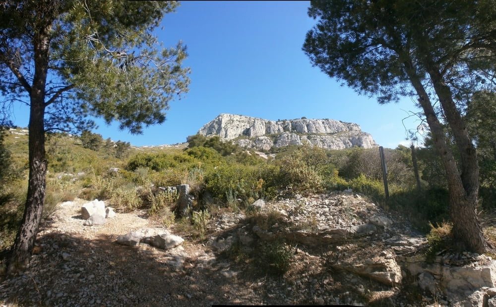
Der Cap Gros (576 m) ist nicht besonsers hoch, der Anstieg ist aber wegen der sehr schottiger Weg (viele Steine) schwierig. Er bietet eine wilde Landschaft und eine schöne Ansicht.
Галерея маршрутов
Карта маршрута и высотный профиль
Minimum height 20 m
Maximum height 565 m
Комментарии

GPS-Tracks
Trackpoints-
GPX / Garmin Map Source (gpx) download
-
TCX / Garmin Training Center® (tcx) download
-
CRS / Garmin Training Center® (crs) download
-
Google Earth (kml) download
-
G7ToWin (g7t) download
-
TTQV (trk) download
-
Overlay (ovl) download
-
Fugawi (txt) download
-
Kompass (DAV) Track (tk) download
-
Формуляр маршрута (pdf) download
-
Original file of the author (gpx) download
Add to my favorites
Remove from my favorites
Edit tags
Open track
My score
Rate


