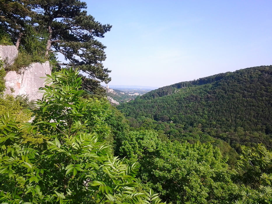
Start der Tour ist in Gaaden, über Forststraßen und Wanderwege geht es nach Siegenfeld,
Rosenthal und auf die Stiege aus Stein.(Ausblick ins Helenental)
Von hieraus geht es bergab ins Helenental, den Helenentalradweg bis zur Krainerhütte,
und danach der Lindkogelstrecke bis zum Lindkogel folgen.
Ab dem Lindkogel die MTB-Strecke bergab bis Baden.
Durch Baden am Casino vorbei Richtung Pfaffstätten und Einöde.
Ab der Einöde einen Wanderweg Richtung Prokschhütte folgen.
Danach die Forststraße zurück nach Gaaden.
Галерея маршрутов
Карта маршрута и высотный профиль
Minimum height 237 m
Maximum height 848 m
Комментарии

Parkmöglichkeit Friedhof Gaaden
GPS-Tracks
Trackpoints-
GPX / Garmin Map Source (gpx) download
-
TCX / Garmin Training Center® (tcx) download
-
CRS / Garmin Training Center® (crs) download
-
Google Earth (kml) download
-
G7ToWin (g7t) download
-
TTQV (trk) download
-
Overlay (ovl) download
-
Fugawi (txt) download
-
Kompass (DAV) Track (tk) download
-
Формуляр маршрута (pdf) download
-
Original file of the author (gpx) download
Add to my favorites
Remove from my favorites
Edit tags
Open track
My score
Rate


