Login

Забыл пароль?

Cookies have to be accepted!
Your browser's cookie functionality is disabled. Please enable this functionality.

Not a member yet?

Register now
Login

Available for registred users only

Log in to use this feature.

Забыл пароль?

Cookies have to be accepted!
Your browser's cookie functionality is disabled. Please enable this functionality.

Not a member yet?

Register now
Filter
Категории
Advanced filters
  • Длина (км)
  • Высотомер
Сохранить фильтр Reset filter

TrackRank

QRCode

Technical data

Длина12,6 km Высотомер971 m Way down963 m Длительность05:32 h:m Дата26.05.2014
Оценки Author Ландшафт Веселье Кондиция Техника

Статистика

424 Виды Оценки 22 Загрузки Среднее
Rate
  • Формуляр маршрута
  • Дорога
  • Загрузки

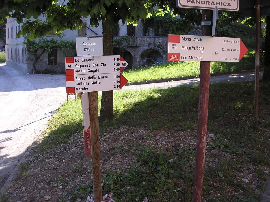
Percorso relativamente lungo ma facile. I 970 metri di dislivello sono stati facile a superare.

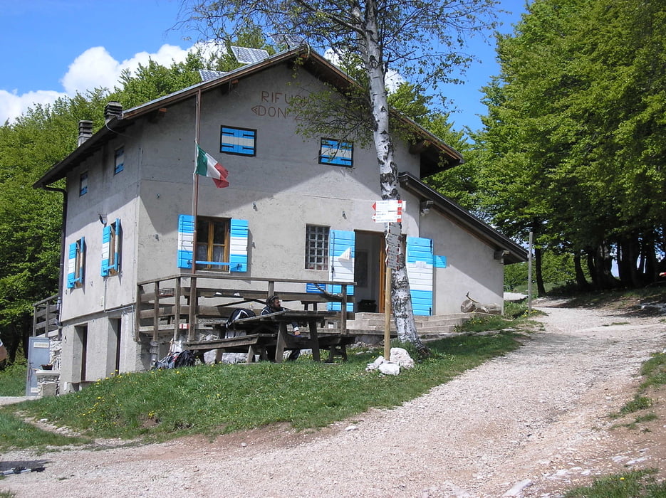
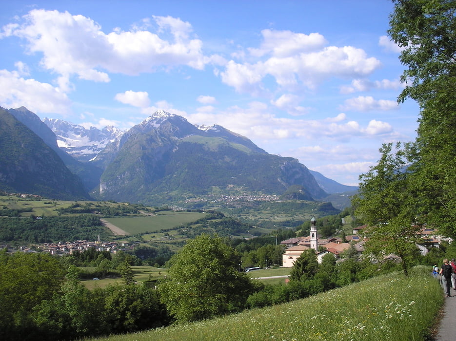
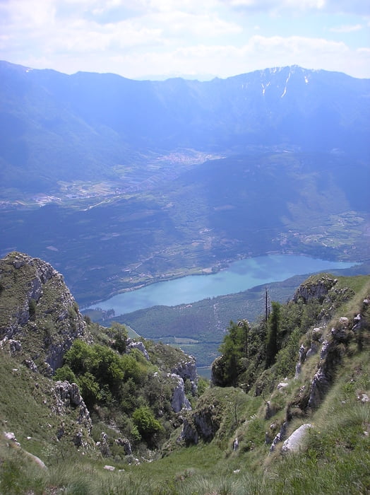
Dal monte Casale ottime vedute.


Further information at

http://www.visitacomano.it/camminare_nella_valle_della_salute_in_trentino/32_al_rifugio_don_zio_e_sul_monte_casale_lomaso

Галерея маршрутов

Карта маршрута и высотный профиль

  • Open Street Map
  • Google
Minimum height 620 m Maximum height 1597 m Детальный вид

More about the tour author

agosflavio
Member since 2013

Send private message

Комментарии

GPS-Tracks

Trackpoints
  • GPX / Garmin Map Source (gpx) download
  • TCX / Garmin Training Center® (tcx) download
  • CRS / Garmin Training Center® (crs) download
  • Google Earth (kml) download
  • G7ToWin (g7t) download
  • TTQV (trk) download
  • Overlay (ovl) download
  • Fugawi (txt) download
  • Kompass (DAV) Track (tk) download
  • Формуляр маршрута (pdf) download
  • Original file of the author (gpx) download

More about the tour author

agosflavio
Member since 2013

Send private message
Share track
Add to my favorites
Remove from my favorites
Edit tags
My score
Rate
Маршрут: Escursione da Comano a monte Casale
Вид: Пешеходный туризм
Длина: 12,6 km
Evaluated on:
Длительность:
Day(s)
Hour(s)
Minute(s)
Оценка: Ландшафт Веселье Кондиция Техника