Login

Забыл пароль?

Cookies have to be accepted!
Your browser's cookie functionality is disabled. Please enable this functionality.

Not a member yet?

Register now
Login

Available for registred users only

Log in to use this feature.

Забыл пароль?

Cookies have to be accepted!
Your browser's cookie functionality is disabled. Please enable this functionality.

Not a member yet?

Register now
Filter
Категории
Advanced filters
  • Длина (км)
  • Высотомер
Сохранить фильтр Reset filter

TrackRank

QRCode

Technical data

Длина28,5 km Высотомер603 m Way down515 m Длительность01:40 h:m Дата31.05.2014
Оценки Author Ландшафт Веселье Кондиция Техника

Статистика

248 Виды Оценки 29 Загрузки Среднее
Rate
  • Формуляр маршрута
  • Дорога
  • Загрузки

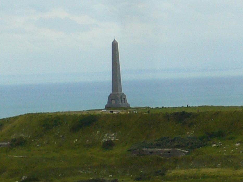
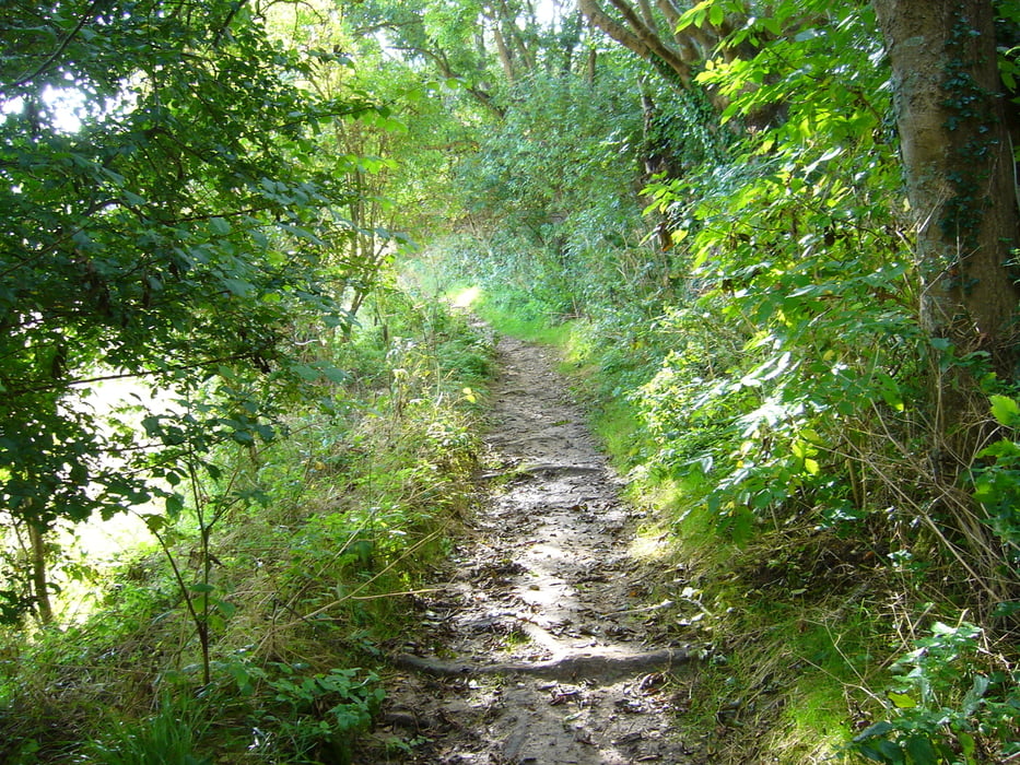
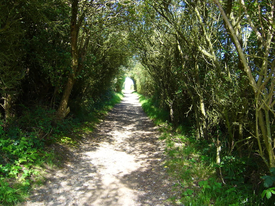
Die Tour startet mitten im Ort und ist zum teil auch ausgeschildert mit gelben Pfeil und Punkten.Es geht erst über breite Wirtschaftswege und auch Trails zum Mount Couple(162m) mit toller Ausicht über die Küste und Wissant. Weiter geht die Fahrt richtung Cap Blanc Nez u. Escales wieder nach Wissant.


Галерея маршрутов

Карта маршрута и высотный профиль

  • Open Street Map
  • Google
Minimum height -78 m Maximum height 160 m Детальный вид

More about the tour author

julem
Member since 2011

Send private message

Комментарии

GPS-Tracks

Trackpoints
  • GPX / Garmin Map Source (gpx) download
  • TCX / Garmin Training Center® (tcx) download
  • CRS / Garmin Training Center® (crs) download
  • Google Earth (kml) download
  • G7ToWin (g7t) download
  • TTQV (trk) download
  • Overlay (ovl) download
  • Fugawi (txt) download
  • Kompass (DAV) Track (tk) download
  • Формуляр маршрута (pdf) download
  • Original file of the author (gpx) download

More about the tour author

julem
Member since 2011

Send private message
Share track
Add to my favorites
Remove from my favorites
Edit tags
My score
Rate
Маршрут: Wissant-Mount Couple-Blanc Nez
Вид: Горный велосипед
Длина: 28,5 km
Evaluated on:
Длительность:
Day(s)
Hour(s)
Minute(s)
Оценка: Ландшафт Веселье Кондиция Техника