


Ausgehend von Untervaz ging es in Richtung Davos über den
1. Wolfgang
2. Flüela
3. Ofen
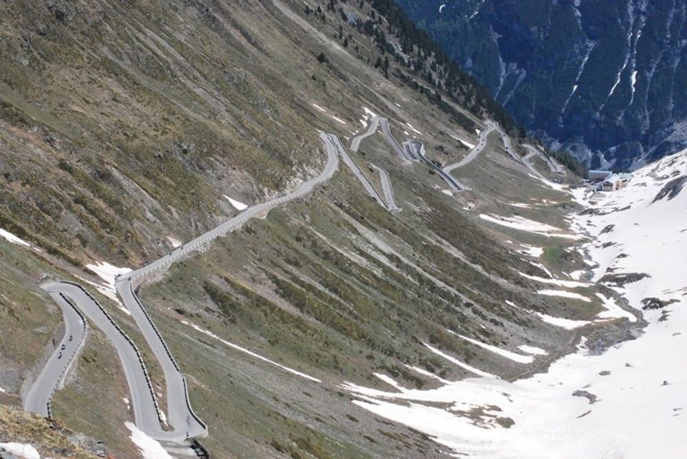
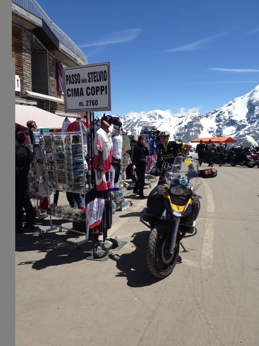
4. Stilfserjoch
5. Umbrail
6. Ofen
7. Albula
8. Lenzerheide
zurück nach Untervaz.
Und genau in dieser Richtung macht es den allermeisten Spass.
Галерея маршрутов

Карта маршрута и высотный профиль
Minimum height 520 m
Maximum height 2739 m
More about the tour author
|
|
goldohulk |
Комментарии

Das ist ein Rundkurs.
Startet, wo ihr Spass habt.
GPS-Tracks
Trackpoints-
GPX / Garmin Map Source (gpx) download
-
TCX / Garmin Training Center® (tcx) download
-
CRS / Garmin Training Center® (crs) download
-
Google Earth (kml) download
-
G7ToWin (g7t) download
-
TTQV (trk) download
-
Overlay (ovl) download
-
Fugawi (txt) download
-
Kompass (DAV) Track (tk) download
-
Формуляр маршрута (pdf) download
-
Original file of the author (gpx) download
More about the tour author
|
|
goldohulk |
Add to my favorites
Remove from my favorites
Edit tags
Open track
My score
Rate