
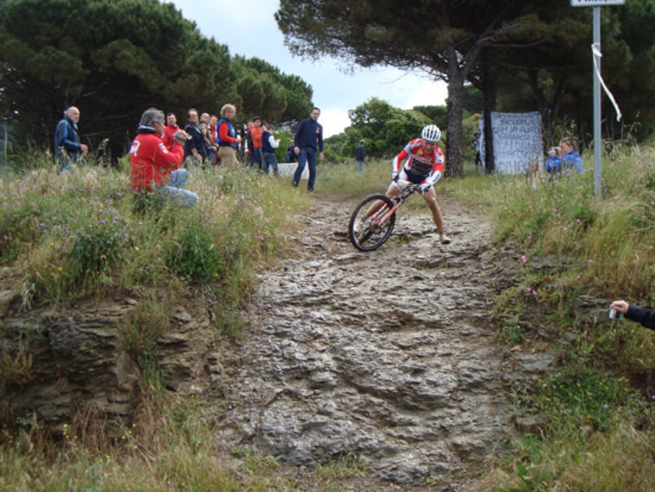

Salita per l'anello alto, poi discesa cessa dell'asta raccordata al single track dell'innammorata. Più di sei sette km di discese mozzafiato dal veloce al tecnico, dallo stretto al largo, dallo scorrevole ai rock garden! imperdibile! poi single track per calamita bassa, risalita all'anello alto per le ripalte, tratto dell'anello alto e discesa per la valle di fosco, a mio parere la discesa più bella di capoliveri! Acqua al ristorente bar le ripalte. possibilità di bagno nella spiaggia vicino a calamita bassa. Molto bellii resti di delle miniere.
Further information at
http://www.capoliveribikepark.it/Карта маршрута и высотный профиль
Minimum height 11 m
Maximum height 389 m
More about the tour author

|
mikyross |
Комментарии

italia toscana livorno isola d'elba capoliveri capoliveri bike park
GPS-Tracks
Trackpoints-
GPX / Garmin Map Source (gpx) download
-
TCX / Garmin Training Center® (tcx) download
-
CRS / Garmin Training Center® (crs) download
-
Google Earth (kml) download
-
G7ToWin (g7t) download
-
TTQV (trk) download
-
Overlay (ovl) download
-
Fugawi (txt) download
-
Kompass (DAV) Track (tk) download
-
Формуляр маршрута (pdf) download
-
Original file of the author (gpx) download
More about the tour author
|
|
mikyross |
Add to my favorites
Remove from my favorites
Edit tags
Open track
My score
Rate