
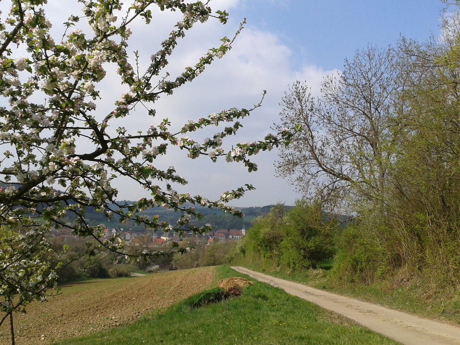

MTB-Rundtour mit Start und Ziel in Osterburken. Die Strecke führt zu ein paar schönen Flecken, die man nicht entdeckt, wenn man sich an die ausgeschilderten Radtouren hält. Viele Feld- und Forstwege, keine Trails. Bei trockenem Untergrund daher auch mit einem Cross- oder soliden Treckingrad zu fahren.
Further information at
https://www.komoot.de/tour/2549584Галерея маршрутов


Карта маршрута и высотный профиль
Minimum height 295 m
Maximum height 475 m
More about the tour author
|
|
berwag74 |
Комментарии

Osterburken liegt an der A81 Würzburg-Stuttgart und ist auch per Bahn gut erreichbar. Wer sich den Anstieg raus aus dem Kirnautal sparen will, kann auch im RIO parken.
GPS-Tracks
Trackpoints-
GPX / Garmin Map Source (gpx) download
-
TCX / Garmin Training Center® (tcx) download
-
CRS / Garmin Training Center® (crs) download
-
Google Earth (kml) download
-
G7ToWin (g7t) download
-
TTQV (trk) download
-
Overlay (ovl) download
-
Fugawi (txt) download
-
Kompass (DAV) Track (tk) download
-
Формуляр маршрута (pdf) download
-
Original file of the author (gpx) download
More about the tour author
|
|
berwag74 |
Add to my favorites
Remove from my favorites
Edit tags
Open track
My score
Rate