


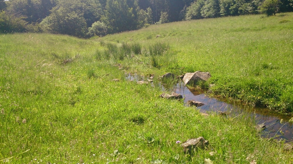
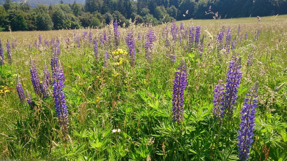
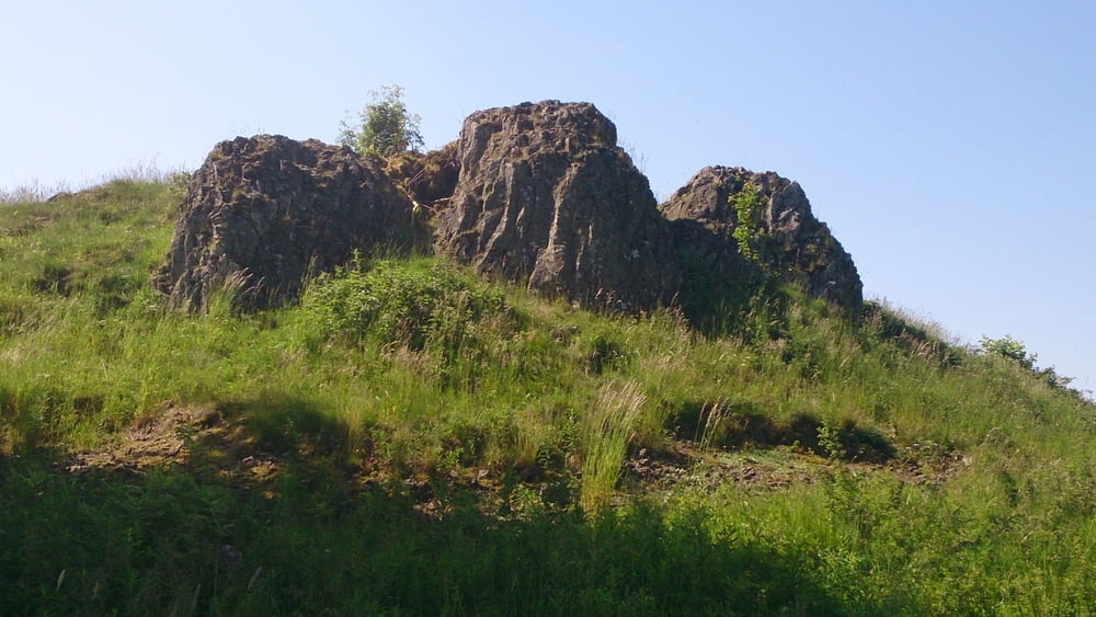
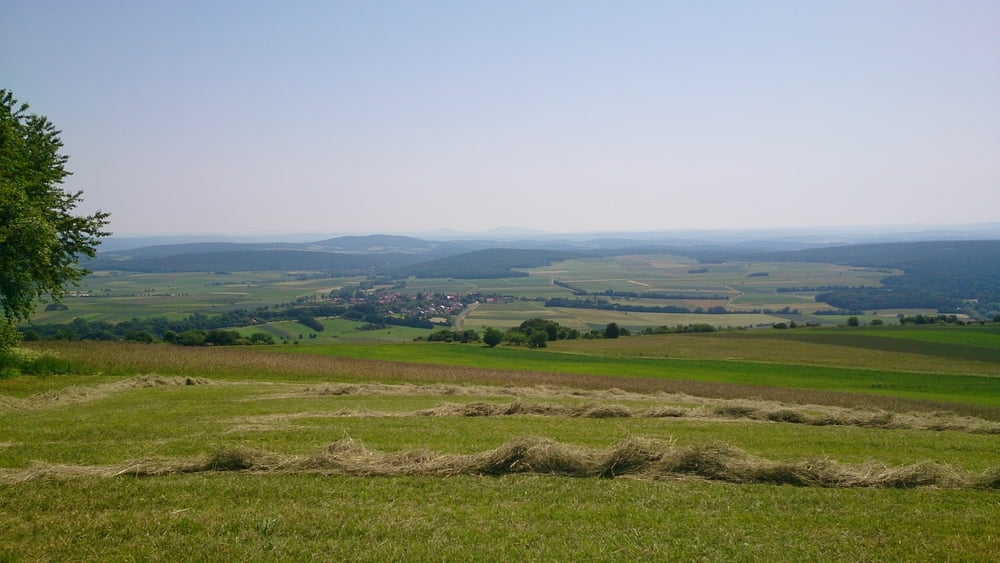
Diese Wanderung startet am Wanderparkplatz am Rothsee und führt uns auf dem Lehrpfad zum Bauersberg und weiter zu der Jungvieweide bei Weisbach. Von hier laufen wir auf die Kalte buche, einem Basalt Kegel mit herrlichen Ausblicken in das Grabfeld und bis zum Thüringer Wald. Nun folgen wir einen Pfad Richtung Weisbach und über den Zickzackküppel kommen wir wieder zum Parkplatz.
Галерея маршрутов
Карта маршрута и высотный профиль
Minimum height 598 m
Maximum height 752 m
More about the tour author
|
|
maffy |
Комментарии

Bischofsheim an der Rhön
Hochrhönstraße bis Basaltwerk
Danach rechts auf den Parkplatz abbiegen
GPS-Tracks
Trackpoints-
GPX / Garmin Map Source (gpx) download
-
TCX / Garmin Training Center® (tcx) download
-
CRS / Garmin Training Center® (crs) download
-
Google Earth (kml) download
-
G7ToWin (g7t) download
-
TTQV (trk) download
-
Overlay (ovl) download
-
Fugawi (txt) download
-
Kompass (DAV) Track (tk) download
-
Формуляр маршрута (pdf) download
-
Original file of the author (gpx) download
More about the tour author
|
|
maffy |
Add to my favorites
Remove from my favorites
Edit tags
Open track
My score
Rate