
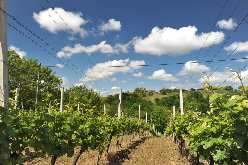

Ruta koja se drži obližnjih brežuljaka oko hotela i gdje se cijelo vrijeme izmjenjuju kratki i strmi usponi te istotakvi spustevi. Krećemo od hotela na brdo Jurovčak pa spust u Štrigovu, nadaleko poznato mjesto po vinarstvui vinogradarstvu. Nakon Štrigove, penjemo se po makadamskom putu do vidikovca te zatim vožnjom kroz vinograde dolazimo do Svetog Urbana. Povratak je preko Preklopa do startne i ciljne točke - Toplica Sveti Martin.
The trail that stays close to the nearby hills around the hotel with the constant alternation of short and steep climbs and downhill rides. We start from the hotel to the hill Jurovčak and continue with a downhill ride to Štrigova, a well-known place for its viticulture and viniculture. After Štrigova, we climb on the gravel road to a belvedere and then ride through vineyards come to St. Urban. The return road goes via Preklop and leads to the starting and the finish point – the Spa St. Martin.
http://spa-sport.hr
http://www.adriabike.hr
Карта маршрута и высотный профиль
Minimum height -22 m
Maximum height 190 m
More about the tour author
|
|
AdriaBikeHotels |
Комментарии

GPS-Tracks
Trackpoints-
GPX / Garmin Map Source (gpx) download
-
TCX / Garmin Training Center® (tcx) download
-
CRS / Garmin Training Center® (crs) download
-
Google Earth (kml) download
-
G7ToWin (g7t) download
-
TTQV (trk) download
-
Overlay (ovl) download
-
Fugawi (txt) download
-
Kompass (DAV) Track (tk) download
-
Формуляр маршрута (pdf) download
-
Original file of the author (gpx) download
More about the tour author
|
|
AdriaBikeHotels |
Add to my favorites
Remove from my favorites
Edit tags
Open track
My score
Rate