Login

Забыл пароль?

Cookies have to be accepted!
Your browser's cookie functionality is disabled. Please enable this functionality.

Not a member yet?

Register now
Login

Available for registred users only

Log in to use this feature.

Забыл пароль?

Cookies have to be accepted!
Your browser's cookie functionality is disabled. Please enable this functionality.

Not a member yet?

Register now
Filter
Категории
Advanced filters
  • Длина (км)
  • Высотомер
Сохранить фильтр Reset filter

TrackRank

QRCode

Technical data

Длина11,6 km Высотомер170 m Way down433 m Длительность00:00 h:m Дата23.06.2014
Оценки Author Ландшафт Веселье Кондиция Техника

Статистика

447 Виды Оценки 53 Загрузки Среднее
Rate
  • Формуляр маршрута
  • Дорога
  • Загрузки

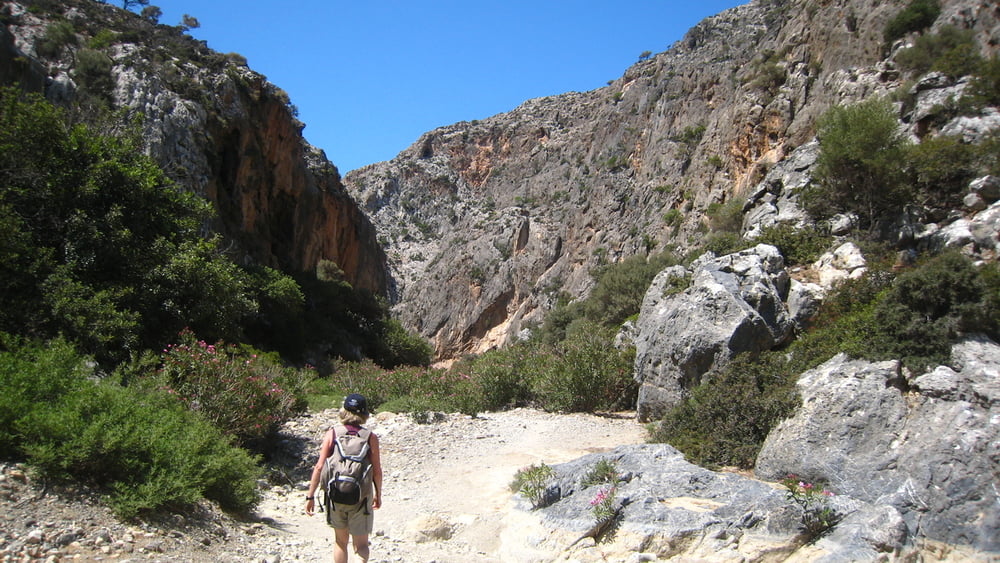
Un altro bellissimo Canyon percorribile in giornata discesa e risalita con bagno in una splendida caletta.


Галерея маршрутов

Карта маршрута и высотный профиль

  • Open Street Map
  • Google
Minimum height -8 m Maximum height 348 m Детальный вид

More about the tour author

Trumpy
Member since 2014

Send private message

Комментарии

Una strada sterrata dal Monastiri Odigitrias, da non mancare.

GPS-Tracks

Trackpoints
  • GPX / Garmin Map Source (gpx) download
  • TCX / Garmin Training Center® (tcx) download
  • CRS / Garmin Training Center® (crs) download
  • Google Earth (kml) download
  • G7ToWin (g7t) download
  • TTQV (trk) download
  • Overlay (ovl) download
  • Fugawi (txt) download
  • Kompass (DAV) Track (tk) download
  • Формуляр маршрута (pdf) download
  • Original file of the author (gpx) download

More about the tour author

Trumpy
Member since 2014

Send private message
Share track
Add to my favorites
Remove from my favorites
Edit tags
My score
Rate
Маршрут: Creta Exploration - Walking #5 - Agiofarango Canyon
Вид: Горный маршрут
Длина: 11,6 km
Evaluated on:
Длительность:
Day(s)
Hour(s)
Minute(s)
Оценка: Ландшафт Веселье Кондиция Техника